Stemmerhof, Munich
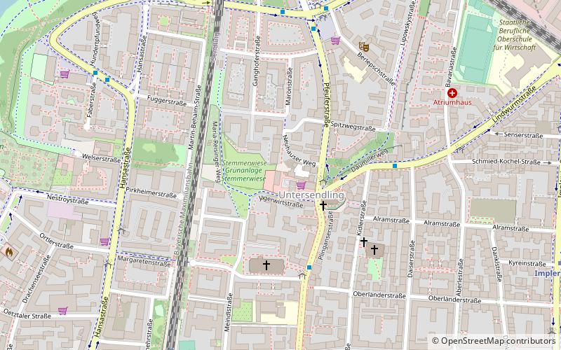
Map
Map

Facts and practical information
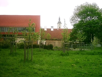
The Stemmerhof in the Munich district of Sendling is a former farm that now includes a village square, stores, restaurants and rooms for exhibitions and cultural events. The Stemmerhof was until 1992 the last farm with dairy farming in the narrower urban area.
Coordinates: 48°7'19"N, 11°32'24"E
Address
Plinganserstraße 6Sendling (Untersendling)Munich 81369
Contact
+49 89 76755960
Social media
Add
Day trips
Stemmerhof – popular in the area (distance from the attraction)
Nearby attractions include: Alte Utting, Bahnwärter Thiel, Theresienwiese, Bavaria.
Frequently Asked Questions (FAQ)
When is Stemmerhof open?
Stemmerhof is open:
- Monday 9 am - 8 pm
- Tuesday 9 am - 8 pm
- Wednesday 9 am - 8 pm
- Thursday 9 am - 8 pm
- Friday 9 am - 8 pm
- Saturday 10 am - 4 pm
- Sunday closed
Which popular attractions are close to Stemmerhof?
Nearby attractions include Sendling, Munich (3 min walk), Sendling-Westpark, Munich (11 min walk), Lindwurmstraße, Munich (11 min walk), Mosque in Sendling, Munich (16 min walk).
How to get to Stemmerhof by public transport?
The nearest stations to Stemmerhof:
Bus
Train
Metro
Tram
Bus
- Sendlinger Kirche • Lines: 153, 53, N43, N44 (2 min walk)
- Margaretenplatz • Lines: 132, 153, 53, N40, N41, N43, N44 (4 min walk)
Train
- Harras (8 min walk)
- Brudermühlstraße (20 min walk)
Metro
- Harras • Lines: U6 (10 min walk)
- Implerstraße • Lines: U3, U6 (11 min walk)
Tram
- Fachnerstraße • Lines: 18 (31 min walk)
- Westendstraße • Lines: 18 (31 min walk)
