Roter See

Gallery (1)
Map
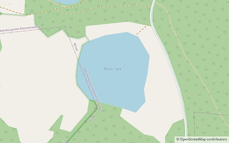
Map
Facts and practical information
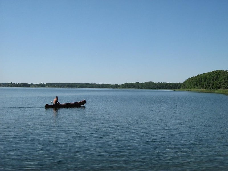
Roter See is a lake in Mecklenburgische Seenplatte, Mecklenburgische Seenplatte, Mecklenburg-Vorpommern, Germany. At an elevation of 59.6 m, its surface area is 0.11 km². ()
Alternative names: Area: 27.18 acres (0.0425 mi²)Elevation: 197 ft a.s.l.Coordinates: 53°20'30"N, 12°55'21"E
Location
Mecklenburg-West Pomerania
ContactAdd
Social media
Add
Day trips