Südkirche, Esslingen
Map

Map

Facts and practical information
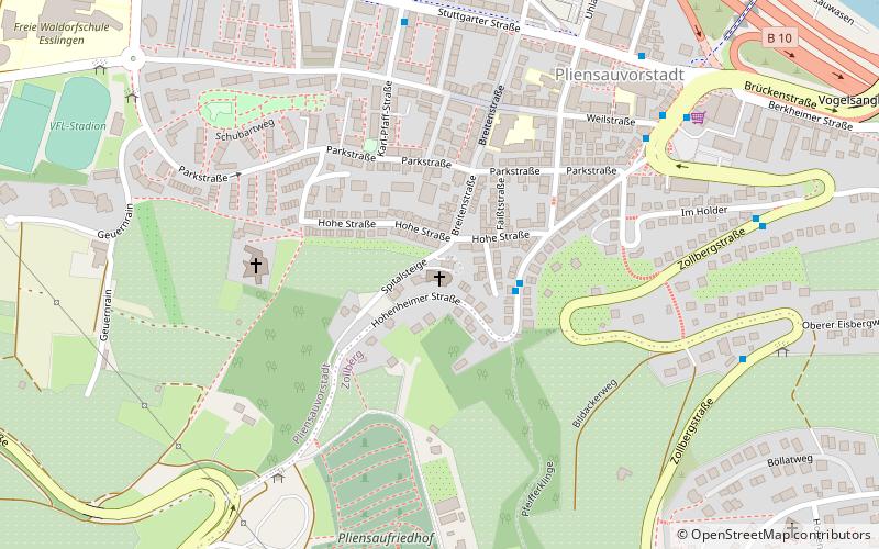
The Protestant South Church in the Pliensauvorstadt in Esslingen am Neckar, built in 1925/26 according to plans by Martin Elsaesser, is a church building from the Expressionist period. It is considered one of the most interesting buildings of the 20th century in Esslingen am Neckar.
Coordinates: 48°43'58"N, 9°17'46"E
Address
1 SpitalsteigeEsslingen
ContactAdd
Social media
Add
Day trips
Südkirche – popular in the area (distance from the attraction)
Nearby attractions include: Merkel'sches Schwimmbad, Stadtkirche St. Dionys, Neckarfreibad, Württembergische Landesbühne Esslingen.
Frequently Asked Questions (FAQ)
Which popular attractions are close to Südkirche?
Nearby attractions include Villa Merkel, Esslingen (15 min walk), Maille, Esslingen (19 min walk), Stadtkirche St. Dionys, Esslingen (21 min walk), Württembergische Landesbühne Esslingen, Esslingen (21 min walk).
How to get to Südkirche by public transport?
The nearest stations to Südkirche:
Bus
Trolleybus
Train
Light rail
Bus
- Pfeifferklinge • Lines: 122, 130, 131, N22 (2 min walk)
- Parkstraße • Lines: 102, 103 (4 min walk)
Trolleybus
- Weilstraße • Lines: 118 (6 min walk)
- Im Holder • Lines: 118 (8 min walk)
Train
- Esslingen (12 min walk)
- Esslingen-Mettingen (35 min walk)
Light rail
- Nellingen Ostfildern • Lines: U7, U8 (31 min walk)
- Parksiedlung • Lines: U7, U8 (32 min walk)


