St. Hedwig, Bremen
Map
Gallery
Facts and practical information
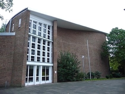
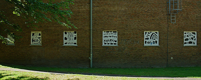
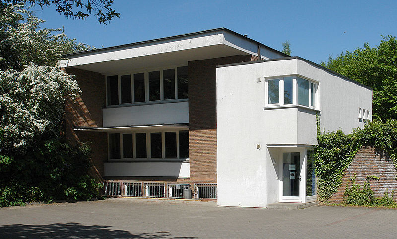
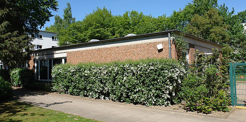
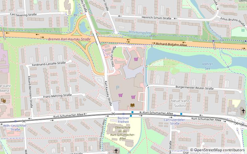
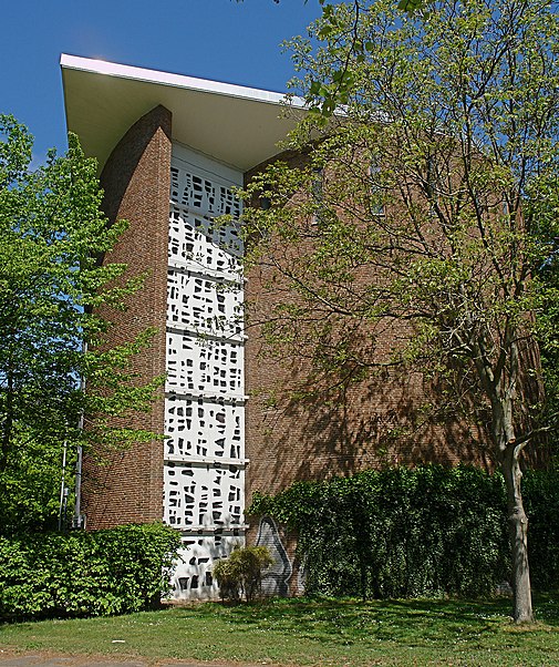
St. Hedwig is a Catholic church of the parish of St. Raphael, which was built until 1963 in the Bremen Vahr, district Neue Vahr Südost, Kurt-Schumacher-Allee 62/Geschwister-Scholl-Strasse.
Coordinates: 53°4'46"N, 8°54'5"E
Day trips
St. Hedwig – popular in the area (distance from the attraction)
Nearby attractions include: Rhododendron-Park Bremen, Achterdieksee, Osterholzer Friedhof, Bremen-Vahr.
Frequently Asked Questions (FAQ)
Which popular attractions are close to St. Hedwig?
Nearby attractions include Bremen-Vahr, Bremen (10 min walk), Achterdieksee, Bremen (20 min walk).
How to get to St. Hedwig by public transport?
The nearest stations to St. Hedwig:
Tram
Bus
Tram
- Dietrich-Bonhoeffer-Straße • Lines: 1, N1 (3 min walk)
- Carl-Goerdeler-Straße • Lines: 1, N1 (5 min walk)
Bus
- Carl-Goerdeler-Straße • Lines: 29 (5 min walk)
- Witzlebenstraße • Lines: 29 (5 min walk)
