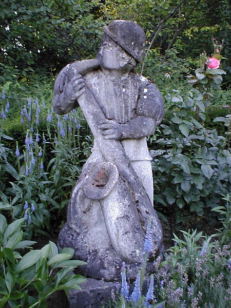
Pfühlpark, Heilbronn
Map

Gallery

Facts and practical information
Pfühlpark is a park in the east of the city of Heilbronn. It covers 9.3 hectares and is located about 1.5 kilometers east of Heilbronn's city center. With the green spaces around the nearby Trappensee, it forms a 15-hectare green space.
Elevation: 594 ft a.s.l.Coordinates: 49°8'28"N, 9°14'36"E
Day trips
Pfühlpark – popular in the area (distance from the attraction)
Nearby attractions include: Kilianskirche, Trappensee, Theater Heilbronn, Haus der Stadtgeschichte / Otto Rettenmaier Haus.
Frequently Asked Questions (FAQ)
How to get to Pfühlpark by public transport?
The nearest stations to Pfühlpark:
Bus
Train
Bus
- Pfühlpark Süd • Lines: 1 (2 min walk)
- Pfühlpark Ost • Lines: 1, N2 (3 min walk)
Train
- Trappensee (11 min walk)
- Heilbronn Sülmertor (32 min walk)


