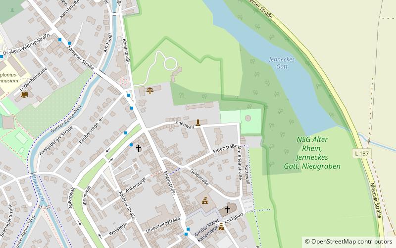
Alte Kellnerei, Rheinberg
Map

Map

Facts and practical information
The Alte Kellnerei is the only surviving building of the former Electoral Cologne and Electorate of Rheinberg Castle in the North Rhine-Westphalian town of Rheinberg on the Lower Rhine. It was built in 1573 as a farm building, largely destroyed during a war in 1598 and rebuilt in 1627. The functionality of the Alte Kellerei varied from time to time. Today it is a listed building and is located north of the city center.
Coordinates: 51°32'54"N, 6°36'10"E
Address
104 InnenwallRheinberg
ContactAdd
Social media
Add
Day trips
Alte Kellnerei – popular in the area (distance from the attraction)
Nearby attractions include: Kloster Kamp, Halde Rheinpreußen, Burgtheater Dinslaken, Haus-Knipp railway bridge.
Frequently Asked Questions (FAQ)
Which popular attractions are close to Alte Kellnerei?
Nearby attractions include Sankt Peter, Rheinberg (5 min walk), Das Tor der Toten, Rheinberg (6 min walk).


