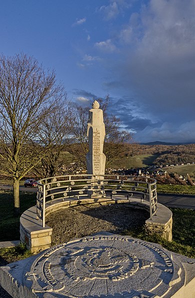
Batzenberg, Pfaffenweiler

Gallery (2)
Map
Map
Gallery
Facts and practical information
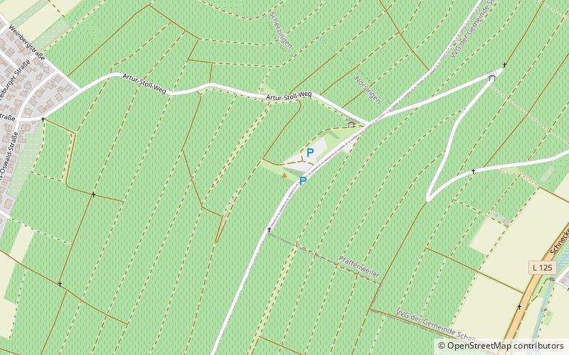
The Batzenberg is a 4 km long and 1.2 km wide ridge between the Rhine plain and the Schönberg in Baden-Württemberg. The highest point is at 326.8 m above sea level. It extends from northeast to southwest, in the north the villages Schallstadt and Wolfenweiler, in the east the Schneckental with Pfaffenweiler and Öhlinsweiler on the L 125 in the south Kirchhofen and Ehrenkirchen in the west Norsingen and Scherzingen on the B 3. The Batzenberg rises about 100 m from its surroundings and is covered by a thick layer of loess. Today it is completely unwooded and planted with vines.
Coordinates: 47°56'15"N, 7°44'24"E
Address
Pfaffenweiler
ContactAdd
Social media
Add
Day trips


