Monzeler Hüttenkopf

Gallery (1)
Map
Map
Facts and practical information
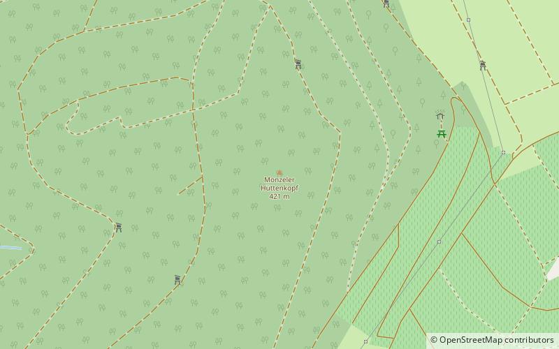
The Monzeler Hüttenkopf, also just Hüttenkopf, at 423.4 m above sea level, is the second highest point of the Moselle Hills. It lies within the municipality of Osann-Monzel in the German county of Bernkastel-Wittlich. ()
Location
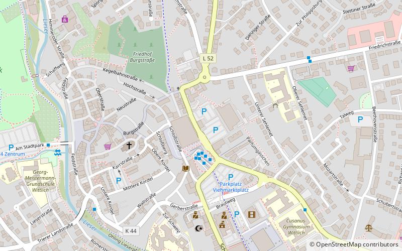
Rhineland-Palatinate
ContactAdd
Social media
Add
Day trips