Moabit, Berlin
Map
Gallery
Facts and practical information
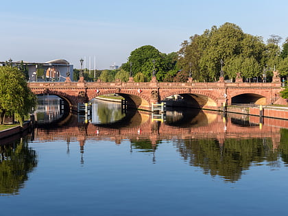
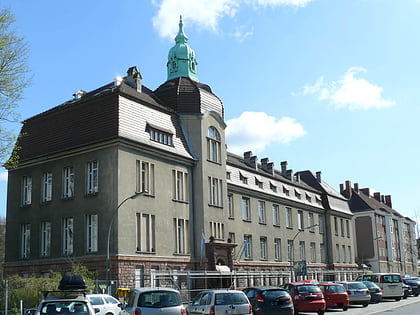
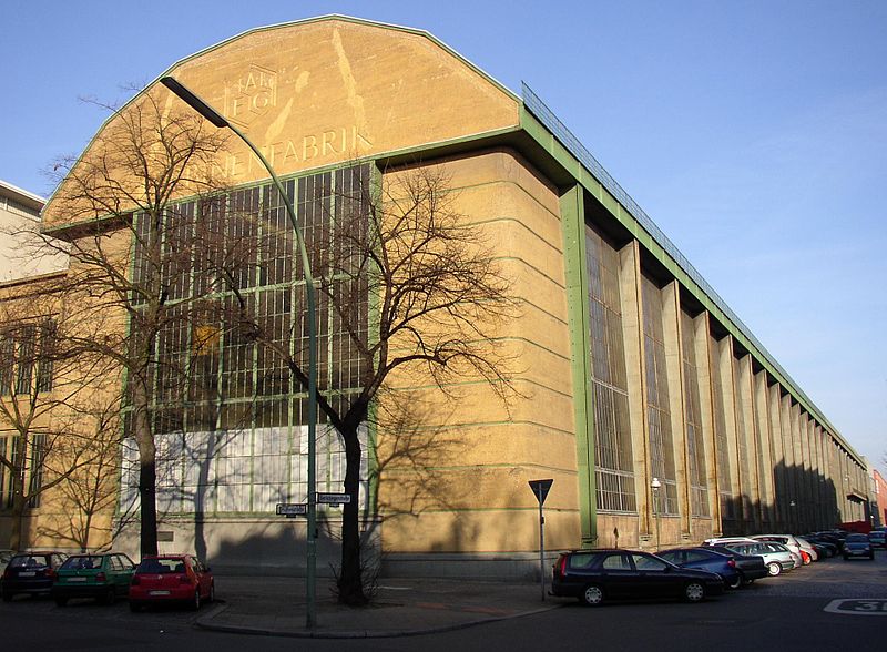
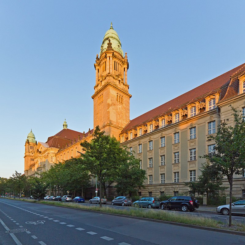
Moabit is an inner city locality in the borough of Mitte, Berlin, Germany. As of 2016, around 77,000 people lived in Moabit. First inhabited in 1685 and incorporated into Berlin in 1861, the former industrial and working-class neighbourhood is fully surrounded by three watercourses which define its present-day border. Between 1945 and 1990, Moabit was part of the British sector of West Berlin that directly bordered East Berlin. ()
Address
Mitte (Moabit)Berlin
ContactAdd
Social media
Add
Day trips
Moabit – popular in the area (distance from the attraction)
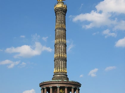
Nearby attractions include: Berlin Victory Column, Bellevue Palace, Gaslaternen-Freilichtmuseum, Haus der Kulturen der Welt.
Frequently Asked Questions (FAQ)
Which popular attractions are close to Moabit?
Nearby attractions include Turmstraße, Berlin (6 min walk), Kleiner Tiergarten, Berlin (8 min walk), Ibn Rushd-Goethe mosque, Berlin (11 min walk), Fritz Schloß Park, Berlin (14 min walk).
How to get to Moabit by public transport?
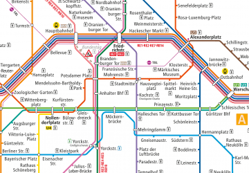
The nearest stations to Moabit:
Metro
Bus
Tram
Train
Metro
- U Birkenstraße • Lines: U9 (6 min walk)
- U Turmstraße • Lines: U9 (7 min walk)
Bus
- Perleberger Brücke • Lines: 123, 142 (19 min walk)
Tram
- Lesser-Ury-Weg • Lines: M10, M5, M8 (23 min walk)
- Lüneburger Straße • Lines: M10, M5, M8 (23 min walk)
Train
- Berlin Central Station (30 min walk)



 Metro
Metro


