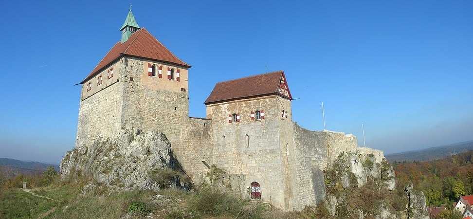
Tetzelschloss, Kirchensittenbach

Gallery (1)
Map
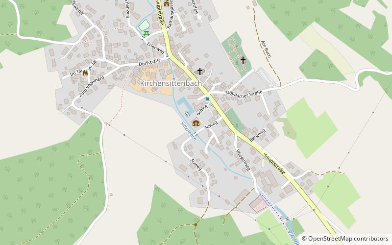
Map
Facts and practical information
Tetzelschloss (address: Schloss 1) is a place located in Kirchensittenbach (Bavaria ) and belongs to the category of forts and castles.
It is situated at an altitude of 1253 feet, and its geographical coordinates are 49°33'17"N latitude and 11°25'22"E longitude.
Among other places and attractions worth visiting in the area are: Hohenstein (forts and castles, 58 min walk), Rothenberg Fortress (forts and castles, 73 min walk), Deutsches Hirtenmuseum, Hersbruck (specialty museum, 79 min walk).
Coordinates: 49°33'17"N, 11°25'22"E
Day trips