Lutherkirche Wanne, Herne
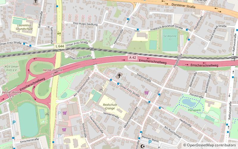
Map

Map

Facts and practical information
Lutherkirche is a Lutheran church in the Wanne district of Herne, consecrated in 1908. Together with the Cranger Kirche, it belongs to the Crange district of the Wanne-Eickel parish, in the Herne church district of the Evangelical Church of Westphalia.
Coordinates: 51°32'29"N, 7°9'16"E
Day trips
Lutherkirche Wanne – popular in the area (distance from the attraction)
Nearby attractions include: Mondpalast, Wananas, Heimat- und Naturkunde-Museum Wanne-Eickel, Christuskirche Wanne.
Frequently Asked Questions (FAQ)
Which popular attractions are close to Lutherkirche Wanne?
Nearby attractions include Sankt Laurentius, Herne (8 min walk), Cranger Kirche, Herne (11 min walk), Heimat- und Naturkunde-Museum Wanne-Eickel, Herne (12 min walk), Schloß Crange, Herne (14 min walk).
How to get to Lutherkirche Wanne by public transport?
The nearest stations to Lutherkirche Wanne:
Bus
Tram
Train
Bus
- Am Stöckmannshof • Lines: 329 (1 min walk)
- Flora Marzina • Lines: 312, 312E, 329 (4 min walk)
Tram
- Wanne-Eickel Hauptbahnhof • Lines: 306, 316 (21 min walk)
- Am Buschmannshof • Lines: 306, 316 (22 min walk)
Train
- Wanne-Eickel Hbf (23 min walk)


