Urbar, Koblenz
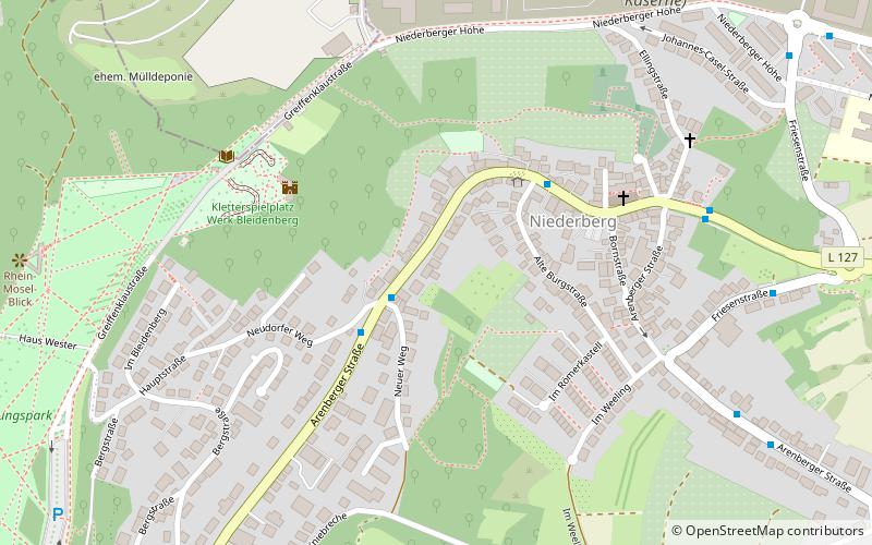
Map
Facts and practical information
Urbar is a municipality in the district of Mayen-Koblenz in Rhineland-Palatinate, western Germany. ()
Getting there by public transportation
Public transportation stops near this location
- Bus
- Tram
- Train
 Bus
Bus
- Calculate routeNeudorfer Weg 2 min walk
- Calculate routeAm Brunnen 4 min walk
- Calculate routeNiederberg Kirche 7 min walk
- Calculate routeFriesenstraße 8 min walk
- Calculate routeStop 19 min walk
- Calculate routeKoblenz-Ehrenbreitstein 23 min walk
Day trips


Frequently Asked Questions (FAQ)
Which popular attractions are close to Urbar?
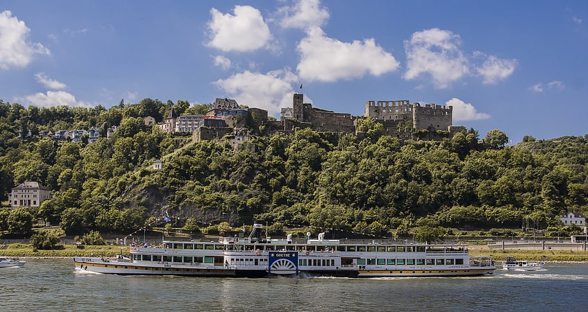
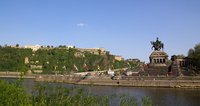
Nearby attractions include Festung Ehrenbreitstein, Koblenz (11 min walk), Moselle, Koblenz (22 min walk), Rheinmuseum, Koblenz (23 min walk), Deutsches Eck, Koblenz (23 min walk).
How to get to Urbar by public transport?
The nearest stations to Urbar:
Bus
Tram
Train
Bus
- Neudorfer Weg • Lines: 460, 9/19 (2 min walk)
- Am Brunnen • Lines: 9/19 (4 min walk)
Tram
- Stop • Lines: Schrägaufzug Ehrenbreitstein (19 min walk)
Train
- Koblenz-Ehrenbreitstein (23 min walk)