Vellmar, Kassel
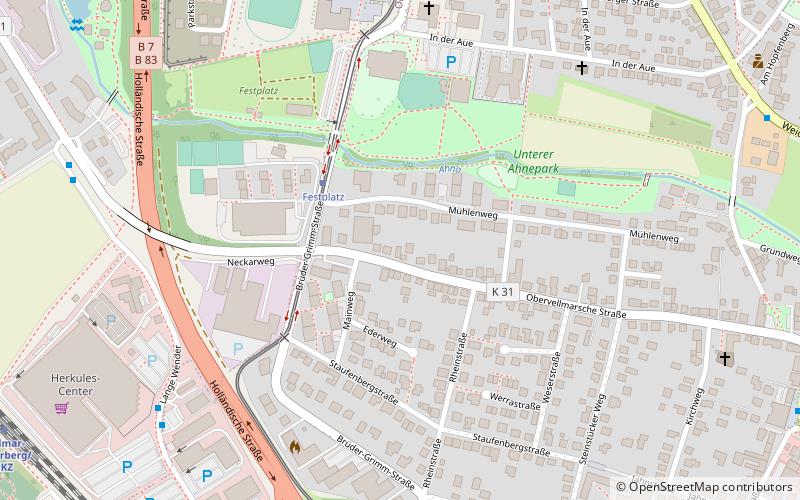
Map
Facts and practical information
Vellmar is a town in the Kassel district, in Hesse, Germany. It is located on the Ahne river. ()
Getting there by public transportation
Public transportation stops near this location
- Bus
- Tram
- Train
 Bus
Bus
- Calculate routeFestplatz 3 min walk
- Calculate routeDörnbergstraße 8 min walk
- Calculate routeStadtmitte 8 min walk
- Calculate routeHerkules-EKZ 7 min walk
- Calculate routeSpeicherstraße 8 min walk
- Calculate routeMitte 11 min walk
- Calculate routeSechsäcker 11 min walk
- Calculate routeVellmar-Osterberg/EKZ 11 min walk
- Calculate routeVellmar-Niedervellmar 14 min walk
- Calculate routeVellmar-Obervellmar 19 min walk
Day trips


Frequently Asked Questions (FAQ)
How to get to Vellmar by public transport?
The nearest stations to Vellmar:
Tram
Bus
Train
Tram
- Festplatz • Lines: 1 (3 min walk)
- Dörnbergstraße • Lines: 1 (8 min walk)
Bus
- Herkules-EKZ • Lines: 44 (7 min walk)
- Speicherstraße • Lines: 44 (8 min walk)
Train
- Vellmar-Osterberg/EKZ (11 min walk)
- Vellmar-Niedervellmar (14 min walk)