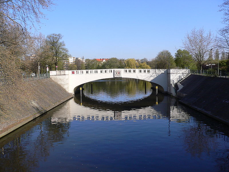
Neukölln Ship Canal, Berlin

Gallery (2)
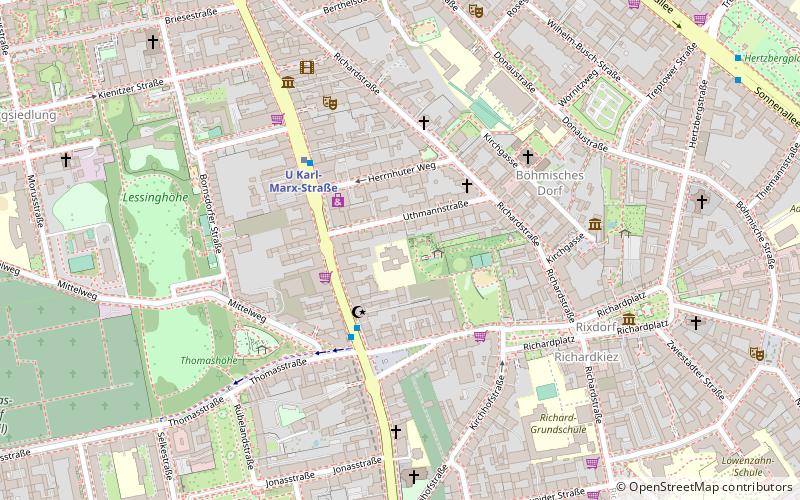
Map
Map
Gallery
Facts and practical information
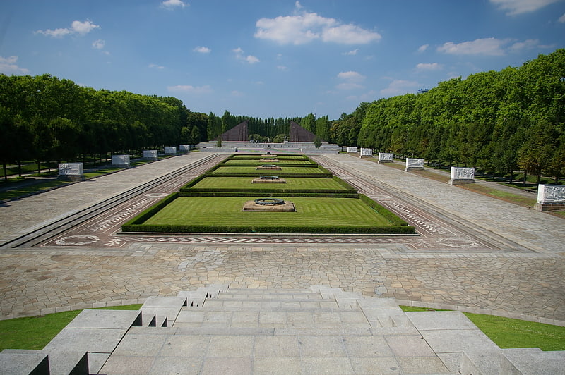
The Neukölln Ship Canal, or Neuköllner Schiffahrtskanal, is a 4.1-kilometre long canal in Berlin, Germany. It connects with the Landwehr Canal at its northern end, and with the Teltow Canal and the Britz Canal at its southern end. ()
Address
NeuköllnBerlin
ContactAdd
Social media
Add
Getting there by public transportation
Public transportation stops near this location
- Metro
- Bus
 Metro
Metro
- Calculate routeU Karl-Marx-Straße 4 min walk
- Calculate routeU Neukölln 12 min walk
- Calculate routeU Rathaus Neukölln 15 min walk
- Calculate routeU Leinestraße 15 min walk
- Calculate routeNeuköllnische Brücke 18 min walk
- Calculate routeBahnhof Treptower Park/Fernbus 38 min walk
Maps Metro
Metro
MetroDay trips


Frequently Asked Questions (FAQ)
Which popular attractions are close to Neukölln Ship Canal?
Nearby attractions include Neukölln, Berlin (1 min walk), Körnerpark, Berlin (9 min walk), Sonnenallee, Berlin (13 min walk).
How to get to Neukölln Ship Canal by public transport?
The nearest stations to Neukölln Ship Canal:
Metro
Bus
Metro
- U Karl-Marx-Straße • Lines: U7 (4 min walk)
- U Neukölln • Lines: U7 (12 min walk)
Bus
- Neuköllnische Brücke • Lines: 246 (18 min walk)
- Bahnhof Treptower Park/Fernbus • Lines: N232, N70 (38 min walk)