Sonnenallee, Berlin
Map
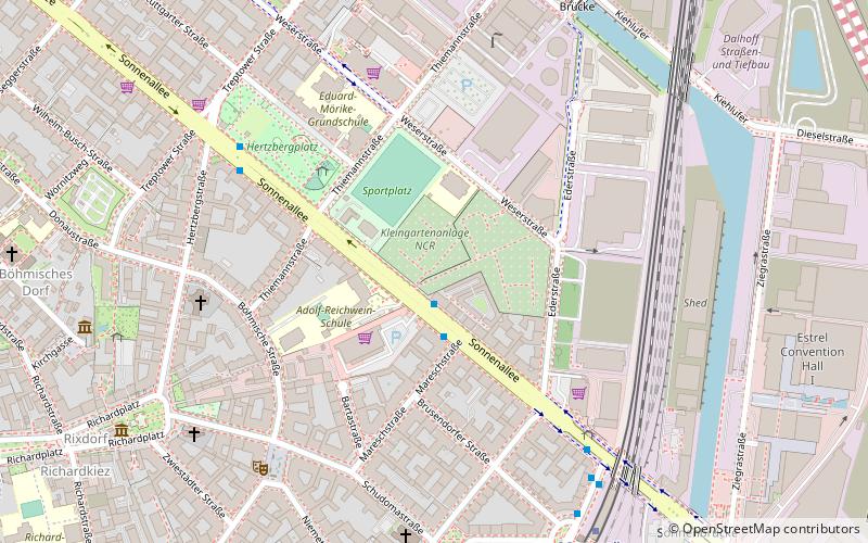
Map

Facts and practical information
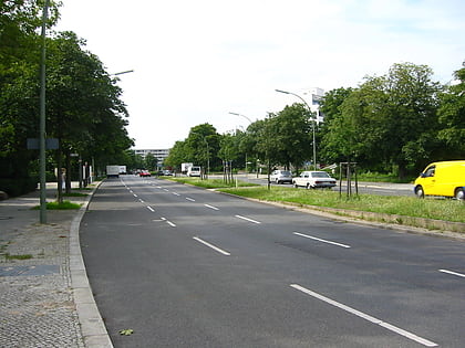
The Sonnenallee is a street in Berlin, Germany, connecting the districts of Neukölln and Treptow-Köpenick. The street is 5 km long, crossing Baumschulenstraße at its south-east end and terminating at Hermannplatz in the north-west. Sonnenallee was constructed at the end of the 19th century. The area around the Sonnenallee was created to cater for the rural drift to the city of that period. ()
Day trips
Sonnenallee – popular in the area (distance from the attraction)
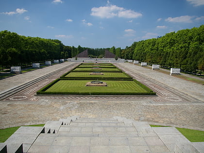
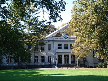
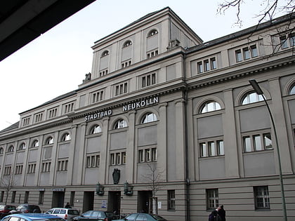
Nearby attractions include: Soviet War Memorial, Treptower Park, Archenhold Observatory, Stadtbad Neukölln.
Frequently Asked Questions (FAQ)
Which popular attractions are close to Sonnenallee?
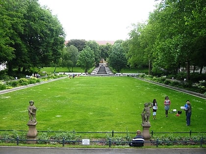
Nearby attractions include Neukölln Ship Canal, Berlin (13 min walk), Neukölln, Berlin (13 min walk), Körnerpark, Berlin (19 min walk).
How to get to Sonnenallee by public transport?
The nearest stations to Sonnenallee:
Bus
Metro
Bus
- Neuköllnische Brücke • Lines: 246 (13 min walk)
- Bahnhof Treptower Park/Fernbus • Lines: N232, N70 (30 min walk)
Metro
- U Karl-Marx-Straße • Lines: U7 (15 min walk)
- U Neukölln • Lines: U7 (18 min walk)
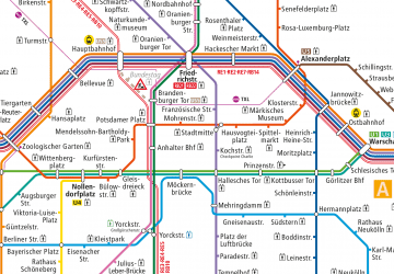 Metro
Metro
