Waldbad Amelinghausen, Amelinghausen

Gallery (1)
Map
Map
Facts and practical information
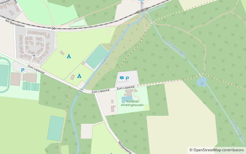
Waldbad Amelinghausen (address: Zum Lopautal 30) is a place located in Amelinghausen (Lower Saxony state) and belongs to the category of watersports, water park, swimming.
It is situated at an altitude of 164 feet, and its geographical coordinates are 53°7'27"N latitude and 10°13'50"E longitude.
Among other places and attractions worth visiting in the area are: Oldendorfer Totenstatt (memorial, 42 min walk), Necropolis of Soderstorf (prehistoric site, 74 min walk).
Coordinates: 53°7'27"N, 10°13'50"E
Day trips

