St. Paulus Church, Bielefeld
Map
Map

Facts and practical information
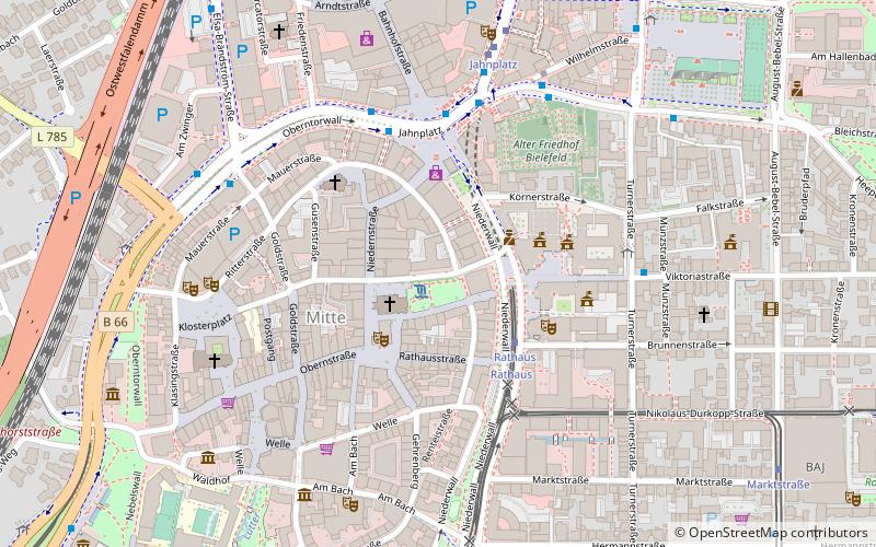
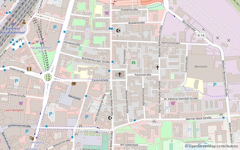
St. Paul's Church in Bielefeld's Mitte district is an Evangelical Lutheran parish church. It is located in the northeastern city center on Paulusstrasse and August-Bebel-Strasse in the Mitte district.
Coordinates: 52°1'38"N, 8°32'25"E
Day trips
St. Paulus Church – popular in the area (distance from the attraction)
Nearby attractions include: Bielefelder Alm, Sparrenburg, Kunsthalle Bielefeld, Bielefeld Opera.
Frequently Asked Questions (FAQ)
Which popular attractions are close to St. Paulus Church?
Nearby attractions include Stadthalle Bielefeld, Bielefeld (6 min walk), Artists Unlimited, Bielefeld (11 min walk), Bielefeld Opera, Bielefeld (13 min walk), Evangelical Church of Westphalia, Bielefeld (13 min walk).
How to get to St. Paulus Church by public transport?
The nearest stations to St. Paulus Church:
Bus
Light rail
Train
Bus
- Pauluskirche • Lines: 27, N12 (2 min walk)
- Paulusstraße • Lines: 27, N8 (4 min walk)
Light rail
- Hauptbahnhof • Lines: 1, 2, 3, 4 (7 min walk)
- Jahnplatz • Lines: 1, 2, 3, 4 (9 min walk)
Train
- Bielefeld Main Station (10 min walk)
- Bielefeld Ost (22 min walk)

