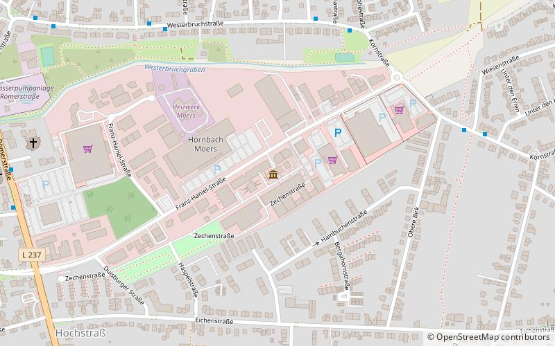
mine Rheinpreußen, Moers
Map

Map

Facts and practical information
The Rheinpreußen colliery is a former coal mine in Moers and Moers-Rheinkamp. The Rheinpreußen colliery was the first mine whose shafts were sunk on the left side of the Rhine. The mine was one of the largest collieries in the Ruhr area. The mine was founded by the industrial entrepreneur Kommerzienrat Franz Haniel.
Coordinates: 51°27'16"N, 6°39'51"E
Address
Moers
ContactAdd
Social media
Add
Day trips
mine Rheinpreußen – popular in the area (distance from the attraction)
Nearby attractions include: Museum der Deutschen Binnenschifffahrt, Rheinorange, Halde Rheinpreußen, Theater am Marientor.


