Hirschgarten (Erfurt), Erfurt
Map

Map

Facts and practical information
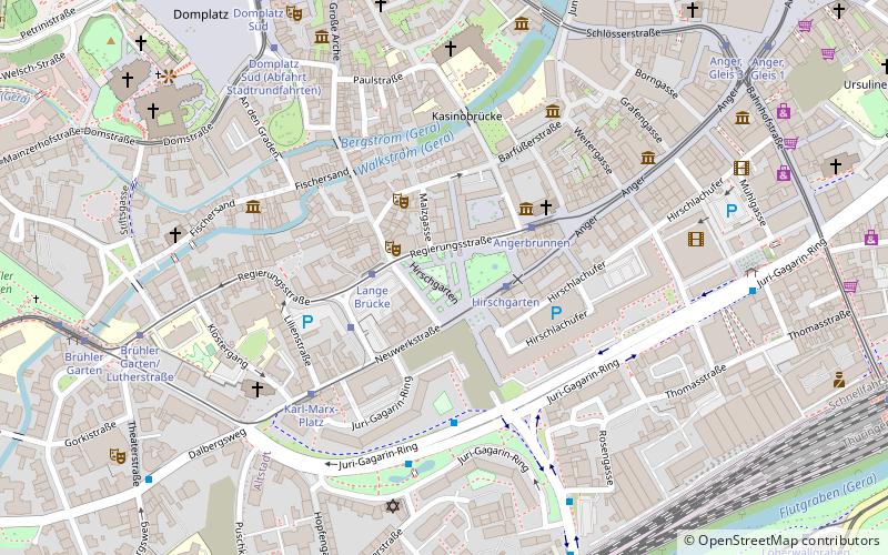
The Hirschgarten is a partially park-like green space in the old town of Erfurt. It was the first public green space in the city. It is now a "park duo" consisting of the historic 18th-century Hirschgarten and a section adjoining it to the west, which was landscaped on demolition land between 2007 and 2009.
Coordinates: 50°58'25"N, 11°1'43"E
Address
AltstadtErfurt
ContactAdd
Social media
Add
Day trips
Hirschgarten (Erfurt) – popular in the area (distance from the attraction)
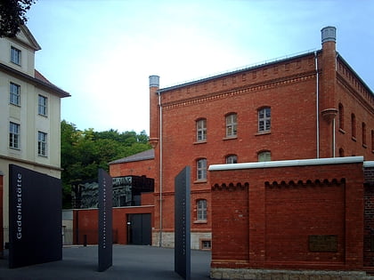
Nearby attractions include: Erfurt Cathedral, Angermuseum, Memorial and Education Centre Andreasstraße, Augustinerkloster.
Frequently Asked Questions (FAQ)
Which popular attractions are close to Hirschgarten (Erfurt)?
Nearby attractions include Maria Gloriosa, Erfurt (5 min walk), Paulsturm, Erfurt (5 min walk), Predigerkirche, Erfurt (5 min walk), Brunnenkirche, Erfurt (6 min walk).
How to get to Hirschgarten (Erfurt) by public transport?
The nearest stations to Hirschgarten (Erfurt):
Tram
Bus
Train
Tram
- Hirschgarten • Lines: 4 (2 min walk)
- Lange Brücke • Lines: 4 (2 min walk)
Bus
- Löberstraße • Lines: 51 (4 min walk)
- Erfurt, Rosengasse • Lines: 350, 60 (6 min walk)
Train
- Erfurt Hbf (11 min walk)


