Almbachklamm, Berchtesgaden

Gallery (1)
Map
Map
Facts and practical information
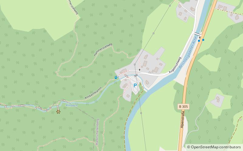
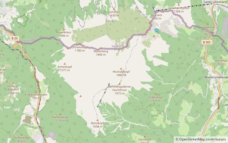
Almbachklamm is a gorge between Ettenberg and Maria Gern in the Berchtesgaden Alps, which has the Almbach stream flowing through it.
Area: 66.72 acres (0.1042 mi²)Coordinates: 47°40'14"N, 13°1'51"E
Address
Berchtesgaden
ContactAdd
Social media
Add
Getting there by public transportation
Public transportation stops near this location
- Bus
 Bus
Bus
- Calculate routeMarktschellenberg Kugelmühle 8 min walk
- Calculate routeEnzianbrennerei 28 min walk
Day trips


Frequently Asked Questions (FAQ)
How to get to Almbachklamm by public transport?
The nearest stations to Almbachklamm:
Bus
Bus
- Marktschellenberg Kugelmühle • Lines: 836, 840 (8 min walk)
- Enzianbrennerei • Lines: 836, 840 (28 min walk)