Meerfeld
#4754 among destinations in Germany
Facts and practical information
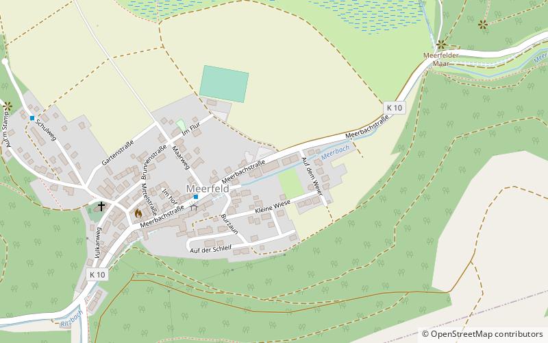
Meerfeld is a village and municipality belonging to a collective municipality in the county of Bernkastel-Wittlich in Rhineland-Palatinate, Germany. ()
Meerfeld – popular in the area (distance from the attraction)
Nearby attractions include: Meerfelder Maar, Castles of Manderscheid, Hoher List Observatory, Himmerod Abbey.
0.5 miNWatersports, Water park, Amusement parkMeerfelder Maar
13 min walk • Nestled in the scenic volcanic Eifel region of Germany, Meerfelder Maar is a captivating water park that offers a tranquil retreat amidst nature's splendor. The Maar, a natural lake formed in a volcanic crater, is the largest of its kind in the Eifel and presents a...
2.5 miEForts and castlesCastles of Manderscheid, Manderscheid
64 min walk • Near the Eifel town of Manderscheid are the ruins of two castles, the castles of Manderschied, whose history and location reflect the mediaeval conflict of interest between the Electorate of Trier and the Duchy of Luxembourg.
6.1 miNEMuseum, Observatories and planetariumsHoher List Observatory, Schalkenmehren
155 min walk • Hoher List Observatorium is an Observatory located on the Hoher List mountain about 60 km south-west of the city of Bonn, close to the town of Daun in the Eifel...
4.6 miSMonastery, ChurchHimmerod Abbey
117 min walk • Nestled in the serene valleys of the Rhineland-Palatinate region in Germany, Himmerod Abbey is a tranquil oasis of spiritual retreat and historical grandeur. This Cistercian monastery, with its origins dating back to the 12th century, offers a glimpse into the monastic...
6.8 miNENature, Natural attraction, LakeSchalkenmehrener Maar, Schalkenmehren
173 min walk • The Schalkenmehrener Maar is a maar roughly 3 kilometres southeast of the town of Daun in the Eifel in the German state of Rhineland-Palatinate.
1 miSENature, Natural attraction, LakeWindsborn Crater Lake
27 min walk • Nestled in the scenic landscape of the Eifel region in Germany, Windsborn Crater Lake beckons nature enthusiasts and geology aficionados alike. This unique lake, situated within the Windsborn Crater, is one of the rarest geological formations in the country – a...
2.2 miESpecialty museum, Museum, Natural history museumMaar Museum, Manderscheid
56 min walk • The Maar Museum in Manderscheid in the German state of Rhineland-Palatinate is a museum whose focus is natural variety and international significance for science and the region of the volcanic maars that characterise parts of the Eifel mountains.
6.1 miNENature, Natural attraction, MountainHoher List, Schalkenmehren
157 min walk • The Hoher List is a stratovolcano, 549.1 m above sea level, near the town of Daun in the Eifel region. The hill is in the county of Vulkaneifel in the German state of Rhineland-Palatinate.
3.3 miSENature, Natural attraction, WaterfallLittle Kyll, Manderscheid
84 min walk • The Little Kyll German: Kleine Kyll, pronounced: "kill" is a 23.9-kilometre-long orographically right-hand tributary of the Lieser.
2.7 miNNature, Natural attraction, MountainBurberg
70 min walk • The Burberg, also called the Buerberg and Bürberg, is a hill, 528.5 m above sea level, in the Eifel mountains in Germany. It rises near Schutz in the county of Vulkaneifel in the state of Rhineland-Palatinate.
5.3 miENature, Natural attraction, Protected areaDürres Maar
137 min walk • The Dürres Maar is a maar located in the vicinity of the village of Gillenfeld, Germany in the West Eifel mountains about 400 metres northwest of the Holzmaar. The Dürres Maar ist a dry maar, the original maar lake has silted up.