Plänterwald, Berlin
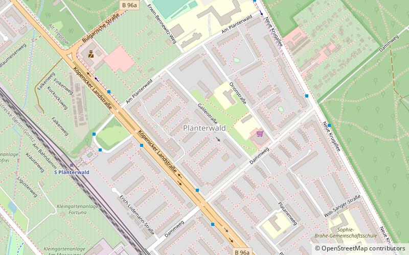
Map
Facts and practical information
Plänterwald is a German locality within the Berlin borough of Treptow-Köpenick. Until 2001 it was part of the former borough of Treptow and the site of its former town hall. ()
Getting there by public transportation
Public transportation stops near this location
- Bus
- Tram
- Ferry
 Bus
Bus
- Calculate routeBaumschulenstraße/Fähre 21 min walk
- Calculate routeWilhelmstrand 22 min walk
- Calculate routeHeizkraftwerk Klingenberg 24 min walk
- Calculate routeKöpenicker Chaussee/Blockdammweg 26 min walk
- Calculate routeGustav-Holzmann-Straße 28 min walk
- Calculate routeBahnhof Treptower Park/Fernbus 28 min walk
- Calculate routeNeuköllnische Brücke 32 min walk
Maps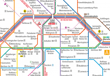 Metro
Metro
MetroDay trips


Frequently Asked Questions (FAQ)
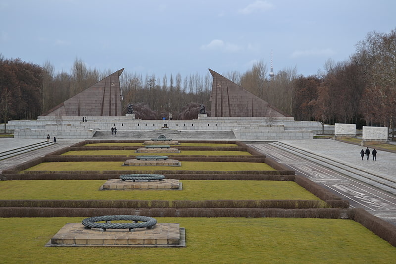
Which popular attractions are close to Plänterwald?
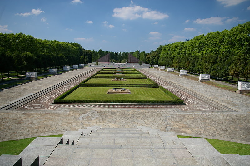
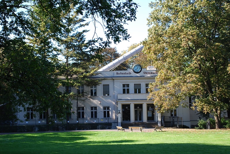
Nearby attractions include Archenhold Observatory, Berlin (12 min walk), Soviet War Memorial, Berlin (17 min walk), Treptower Park, Berlin (18 min walk), Citymarina Rummelsburg, Berlin (23 min walk).
How to get to Plänterwald by public transport?
The nearest stations to Plänterwald:
Ferry
Tram
Bus
Ferry
- Baumschulenstraße/Fähre • Lines: F11 (21 min walk)
- Wilhelmstrand • Lines: F11 (22 min walk)
Tram
- Heizkraftwerk Klingenberg • Lines: 21 (24 min walk)
- Köpenicker Chaussee/Blockdammweg • Lines: 21 (26 min walk)
Bus
- Bahnhof Treptower Park/Fernbus • Lines: N232, N70 (28 min walk)
- Neuköllnische Brücke • Lines: 246 (32 min walk)