Jungfernheide, Berlin
Map
Gallery
Facts and practical information
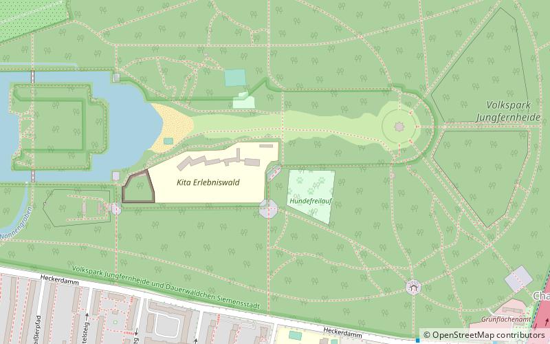
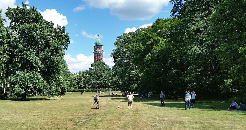
Jungfernheide is an area of forest and heathland located in Berlin in the present-day district of Charlottenburg-Nord, a locality of the borough of Charlottenburg-Wilmersdorf. Formerly a large forested area, it was progressively reduced in size through development and military use. The recently closed Tegel Airport now divides the remainder, with Volkspark Jungfernheide to the south, and a larger still-forested region between the airport and Lake Tegel. ()
Address
Charlottenburg-Wilmersdorf (Charlottenburg Nord)Berlin
ContactAdd
Social media
Add
Day trips
Jungfernheide – popular in the area (distance from the attraction)
Nearby attractions include: Mierendorffplatz, Maria Regina Martyrum, Kaiser Wilhelm Memorial Cemetery, Westhafen Canal.
Frequently Asked Questions (FAQ)
Which popular attractions are close to Jungfernheide?
Nearby attractions include Charlottenburg-Nord, Berlin (11 min walk), Strandbad Jungfernheide, Berlin (13 min walk), Maria Regina Martyrum, Berlin (14 min walk), Großsiedlung Siemensstadt, Berlin (15 min walk).
How to get to Jungfernheide by public transport?
The nearest stations to Jungfernheide:
Metro
Bus
Train
Metro
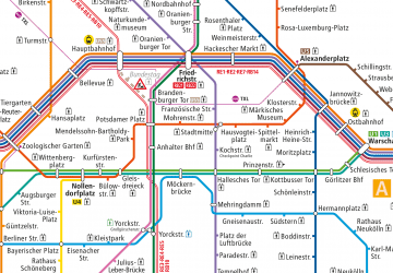
- U Halemweg • Lines: U7 (12 min walk)
- U Jakob-Kaiser-Platz • Lines: U7 (14 min walk)
Bus
- Impfzentrum Tegel, Terminal C • Lines: Izt (24 min walk)
- Stieffring • Lines: 123 (28 min walk)
Train
- Berlin Jungfernheide (27 min walk)

 Metro
Metro