City walls of Nuremberg, Nuremberg
Map
Gallery
Facts and practical information
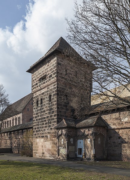
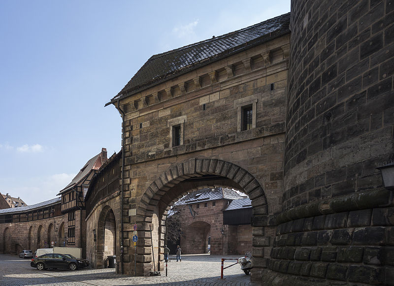
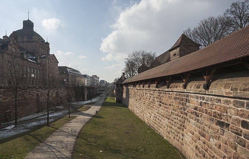
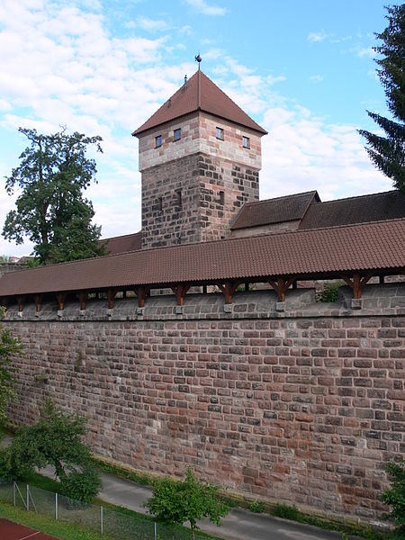
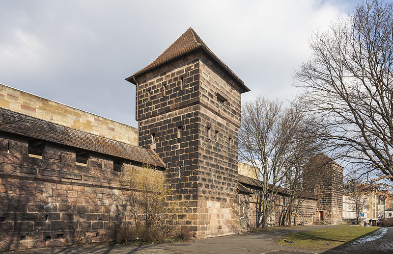
The city walls are the medieval defensive mechanism surrounding the old city of Nuremberg, Germany. Construction started in the 12th Century and ended officially in the 16th Century. They measured 5 kilometers around the old town. The Nuremberg Castle together with the city wall is meant to be one of Europe's most considerable medieval defensive systems. ()
Address
Mitte (Altstadt - St. Sebald)Nuremberg
ContactAdd
Social media
Add
Day trips
City walls of Nuremberg – popular in the area (distance from the attraction)
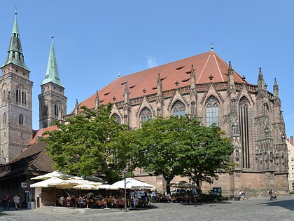
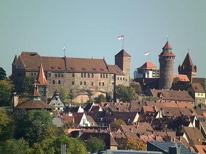
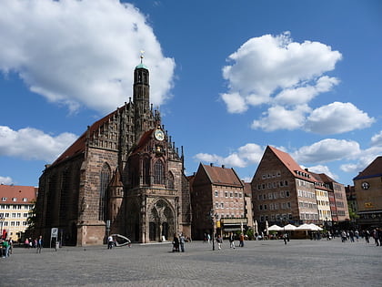
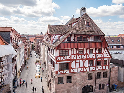
Nearby attractions include: St. Sebald, Nuremberg Castle, Frauenkirche, Albrecht Dürer's House.
Frequently Asked Questions (FAQ)
Which popular attractions are close to City walls of Nuremberg?
Nearby attractions include Laufer Torturm, Nuremberg (1 min walk), Tucherschloss, Nuremberg (5 min walk), Museum Tucherschloss and Hirsvogelsaal, Nuremberg (5 min walk), Cramer-Klett-Park, Nuremberg (6 min walk).
How to get to City walls of Nuremberg by public transport?
The nearest stations to City walls of Nuremberg:
Bus
Tram
Metro
Train
Bus
- Laufer Tor • Lines: N11 (1 min walk)
- Rathenauplatz • Lines: 340, 36, 94, N1, N11, N12, N13 (1 min walk)
Tram
- Rathenauplatz • Lines: 8 (2 min walk)
- Stresemannplatz • Lines: 8 (9 min walk)
Metro
- Rathenauplatz • Lines: U2, U3 (2 min walk)
- Rennweg • Lines: U2 (9 min walk)
Train
- Nürnberg-Dürrenhof (21 min walk)
- Nürnberg Hauptbahnhof (24 min walk)


