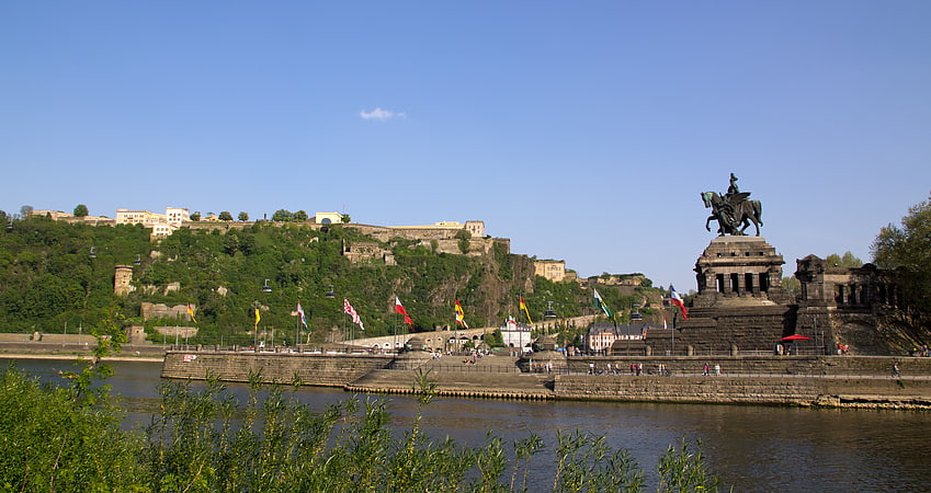
Koblenz-Arzheim, Koblenz
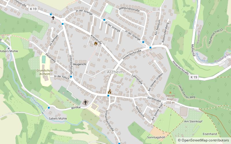
Map
Facts and practical information
- not to be confused with Arzheim, Stadtteil of Landau
Since 1970 the village Arzheim has been incorporated into the jurisdiction of the city of Koblenz. Hence, the village of Arzheim is now being referred to as Koblenz-Arzheim. 2.200 people live in this suburb, in an area of 4,87km2. ()
Address
Koblenz
ContactAdd
Social media
Add
Getting there by public transportation
Public transportation stops near this location
- Bus
- Tram
- Train
 Bus
Bus
- Calculate routeSchulplatz 1 min walk
- Calculate routeSpillesje 2 min walk
- Calculate routeIn der Strenge 4 min walk
- Calculate routeIm Pelzer 4 min walk
- Calculate routeStop 26 min walk
- Calculate routeKoblenz-Ehrenbreitstein 28 min walk
Day trips


Frequently Asked Questions (FAQ)
How to get to Koblenz-Arzheim by public transport?
The nearest stations to Koblenz-Arzheim:
Bus
Tram
Train
Bus
- Schulplatz • Lines: 10, 29 (1 min walk)
- Spillesje • Lines: 10, 29 (2 min walk)
Tram
- Stop • Lines: Schrägaufzug Ehrenbreitstein (26 min walk)
Train
- Koblenz-Ehrenbreitstein (28 min walk)