Feuerland, Berlin
Map
Facts and practical information
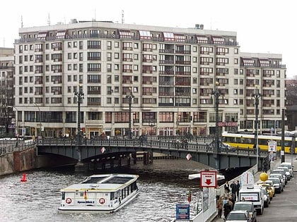
Feuerland was a popular 19th-century designation for the industrial nucleus of Berlin. It was located in the historic Oranienburger Vorstadt section of Berlin in today’s district Berlin-Mitte. The word literally means “land of fire”, but it is also a play on words as "Feuerland" is the German name for another geographical location, namely Tierra del Fuego. ()
Address
MitteBerlin
ContactAdd
Social media
Add
Day trips
Feuerland – popular in the area (distance from the attraction)
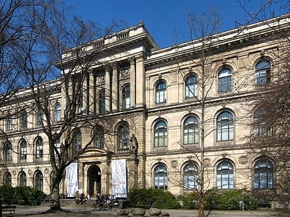
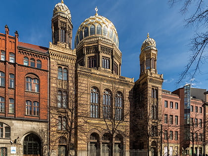
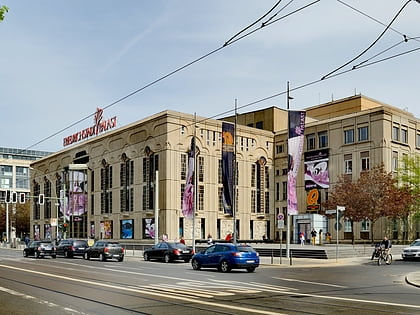
Nearby attractions include: Hamburger Bahnhof, Museum für Naturkunde, New Synagogue, Friedrichstadt-Palast.
Frequently Asked Questions (FAQ)
Which popular attractions are close to Feuerland?
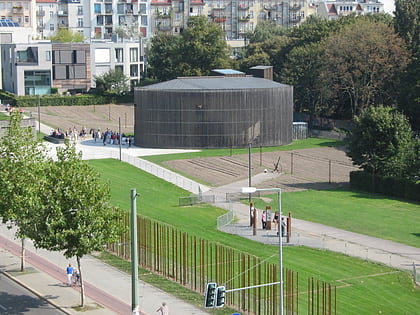
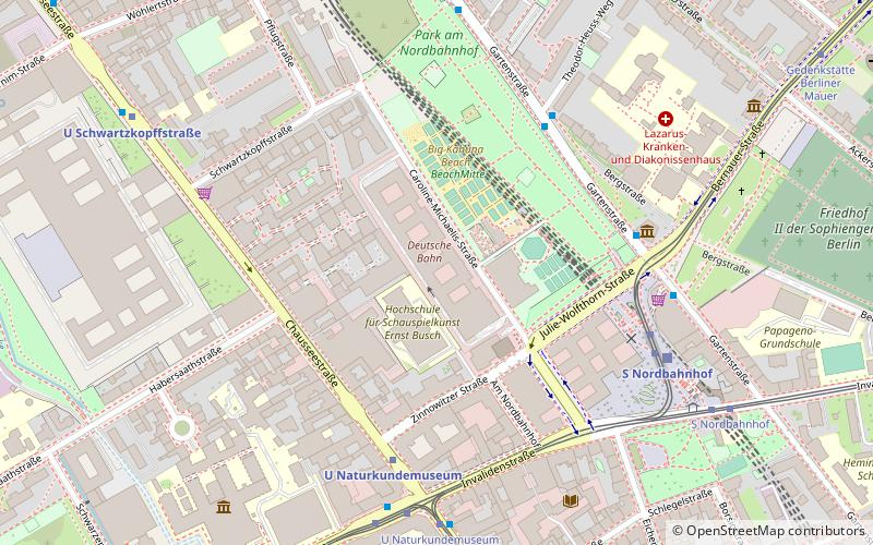
Nearby attractions include Berlin Wall Memorial, Berlin (6 min walk), Museum für Naturkunde, Berlin (7 min walk), Chausseestraße, Berlin (7 min walk), Ackerstraße, Berlin (9 min walk).
How to get to Feuerland by public transport?
The nearest stations to Feuerland:
Metro
Tram
Train
Bus
Metro
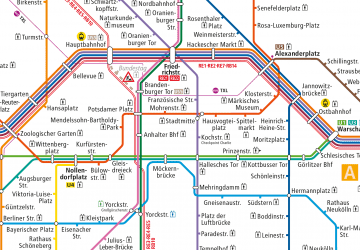
- U Naturkundemuseum • Lines: U6 (5 min walk)
- U Schwartzkopffstraße • Lines: U6 (8 min walk)
Tram
- U Naturkundemuseum • Lines: 12, M10, M5, M8 (6 min walk)
- S Nordbahnhof • Lines: 12, M10, M8 (6 min walk)
Train
- Berlin Central Station (21 min walk)
- Berlin Friedrichstraße (24 min walk)
Bus
- Perleberger Brücke • Lines: 123, 142 (28 min walk)
 Metro
Metro
