Tulbeckstraße, Munich
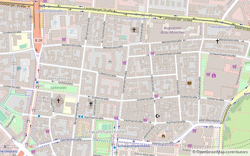
Map
Facts and practical information
The Tulbeckstraße is a street in Munich and lies west of the city center in the district Schwanthalerhöhe. It leads from Parkstraße in the east to Trappentreustraße in the west. It was named after the Munich patrician family Tulbeck in 1878. From this family came the Freising Prince-Bishop Johann IV Tulbeck. ()
Address
SchwanthalerhöheMunich
ContactAdd
Social media
Add
Getting there by public transportation
Public transportation stops near this location
- Metro
- Bus
- Tram
- Train
 Metro
Metro
- Calculate routeBergmannstraße 5 min walk
- Calculate routeSchwanthalerhöhe 6 min walk
- Calculate routeGollierplatz 8 min walk
- Calculate routeSchwanthalerhöhe 6 min walk
- Calculate routeHeimeranplatz 12 min walk
- Calculate routeTheresienwiese 14 min walk
- Calculate routeWestendstraße 23 min walk
- Calculate routeSchrenkstraße 6 min walk
- Calculate routeTrappentreustraße 9 min walk
- Calculate routeHolzapfelstraße 9 min walk
- Calculate routeBarthstraße 14 min walk
- Calculate routeDonnersbergerbrücke 12 min walk
- Calculate routeHeimeranplatz 13 min walk
- Calculate routeHackerbrücke 14 min walk
- Calculate routeMunich Central Station 18 min walk
Day trips


Frequently Asked Questions (FAQ)
Which popular attractions are close to Tulbeckstraße?
Nearby attractions include Bergmannstraße, Munich (4 min walk), St. Benedikt, Munich (5 min walk), Schwanthalerhöhe, Munich (5 min walk), Gollierplatz, Munich (6 min walk).
How to get to Tulbeckstraße by public transport?
The nearest stations to Tulbeckstraße:
Bus
Metro
Tram
Train
Bus
- Bergmannstraße • Lines: 153, 53 (5 min walk)
- Schwanthalerhöhe • Lines: 134, 153, 53 (6 min walk)
Metro
- Schwanthalerhöhe • Lines: U4, U5 (6 min walk)
- Heimeranplatz • Lines: U4, U5 (12 min walk)
Tram
- Schrenkstraße • Lines: 18, 19, 29, N19 (6 min walk)
- Trappentreustraße • Lines: 18, 19, 29, N19 (9 min walk)
Train
- Donnersbergerbrücke (12 min walk)
- Heimeranplatz (13 min walk)