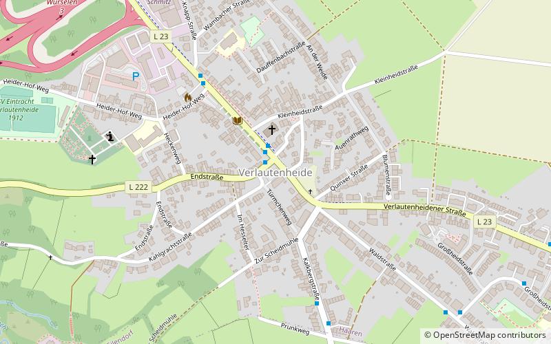
Verlautenheide, Aachen
Map

Map

Facts and practical information
Verlautenheide is a rural section of northeast Aachen, with a population of around 3500. The community lies within the administrative district of Haaren. Its highest point is the Haarberg. ()
Address
Aachen
ContactAdd
Social media
Add
Day trips
Verlautenheide – popular in the area (distance from the attraction)
Nearby attractions include: Welsche Mühle, Jüdischer Friedhof Haaren, St.Severin, Church of Reconciliation.
Frequently Asked Questions (FAQ)
How to get to Verlautenheide by public transport?
The nearest stations to Verlautenheide:
Bus
Train
Bus
- Verlautenheide Endstraße • Lines: 1, 31, 41, 52, 7, N 3 (1 min walk)
- Gut-Knapp-Straße • Lines: 1, 31, 7, N 3 (5 min walk)
Train
- Eilendorf (20 min walk)


