Schellingstraße, Munich

Gallery (1)
Map

Map
Facts and practical information
The Schellingstraße is a 1.9 km long street in the Maxvorstadt in Munich. ()
Address
Maxvorstadt (Königsplatz)Munich
ContactAdd
Social media
Add
Getting there by public transportation
Public transportation stops near this location
- Metro
- Bus
- Tram
- Train
 Metro
Metro
- Calculate routeArcisstraße 2 min walk
- Calculate routeLuisenstraße 2 min walk
- Calculate routeAugustenstraße 5 min walk
- Calculate routeSchellingstraße 6 min walk
- Calculate routeSchellingstraße 6 min walk
- Calculate routePinakotheken 7 min walk
- Calculate routeNordendstraße 9 min walk
- Calculate routeElisabethplatz 12 min walk
- Calculate routeTheresienstraße 6 min walk
- Calculate routeJosephsplatz 7 min walk
- Calculate routeUniversität 15 min walk
- Calculate routeKönigsplatz 15 min walk
- Calculate routeHauptbahnhof 23 min walk
- Calculate routeKarlsplatz 23 min walk
- Calculate routeMunich Central Station 27 min walk
- Calculate routeMarienplatz 28 min walk
Day trips


Frequently Asked Questions (FAQ)
Which popular attractions are close to Schellingstraße?
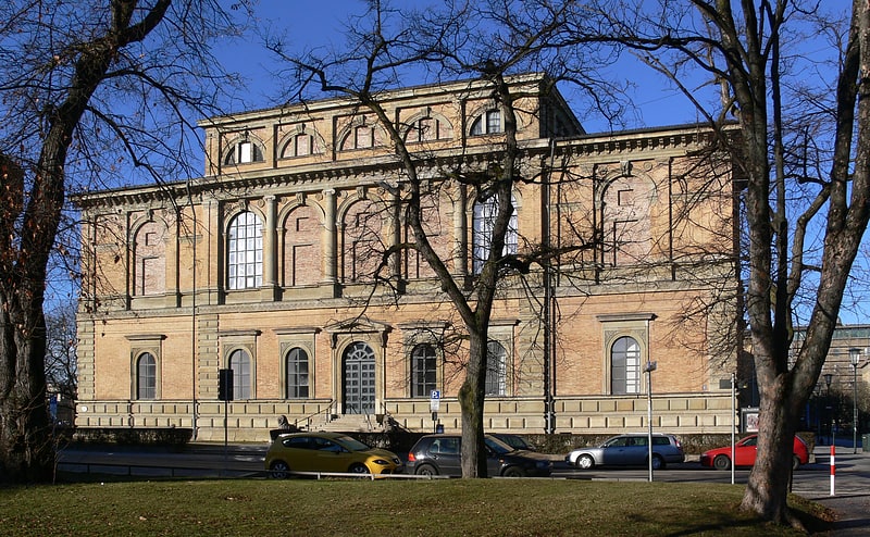
Nearby attractions include Alter Nordfriedhof, Munich (3 min walk), Maxvorstadt, Munich (4 min walk), TU München, Munich (4 min walk), Neue Pinakothek, Munich (5 min walk).
How to get to Schellingstraße by public transport?
The nearest stations to Schellingstraße:
Bus
Tram
Metro
Train
Bus
- Arcisstraße • Lines: 153, 154 (2 min walk)
- Luisenstraße • Lines: 153, 154 (2 min walk)
Tram
- Schellingstraße • Lines: 27, 28, N27 (6 min walk)
- Pinakotheken • Lines: 27, 28, N27 (7 min walk)
Metro
- Theresienstraße • Lines: U2, U8 (6 min walk)
- Josephsplatz • Lines: U2, U8 (7 min walk)
Train
- Hauptbahnhof (23 min walk)
- Karlsplatz (23 min walk)