Leithe, Bochum
Map
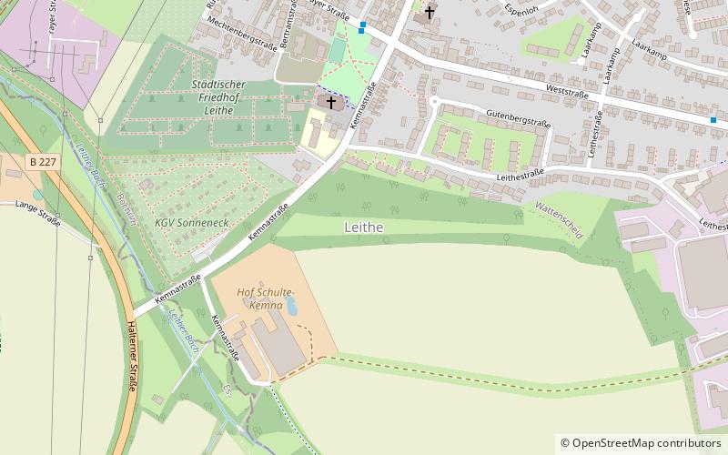
Map

Facts and practical information
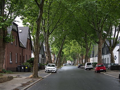
Leithe is the northwesternmost part of the city of Bochum in the Ruhr area in North Rhine-Westphalia in Germany. The population used to speak Westphalian, but now standard German is the norm. Leithe borders onto a part of the city of Essen also bearing the name of Leithe. Leithe belongs to the Stadtbezirk of Wattenscheid. When the last census was held in 1987, Leithe had the third highest share of Roman Catholics in Wattenscheid and Bochum overall. ()
Address
Wattenscheid (Leithe)Bochum
ContactAdd
Social media
Add
Day trips
Leithe – popular in the area (distance from the attraction)
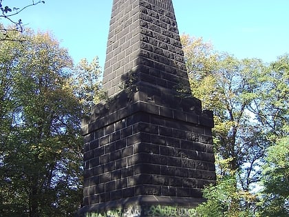
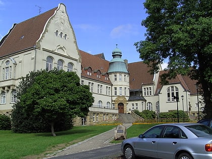
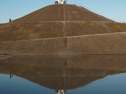
Nearby attractions include: Bismarckturm Essen, Rathaus Kray, Halde Rheinelbe, Lohrheidestadion.
Frequently Asked Questions (FAQ)
How to get to Leithe by public transport?
The nearest stations to Leithe:
Bus
Tram
Train
Bus
- Leithe Gelsenkirchener Straße • Lines: 365 (6 min walk)
- Rüggenberg • Lines: 389, Ne13 (9 min walk)
Tram
- Lohrheidestraße • Lines: 302 (24 min walk)
- Watermanns Weg • Lines: 302 (24 min walk)
Train
- Gelsenkirchen-Rotthausen (35 min walk)
