Halde Rheinelbe, Gelsenkirchen
Map
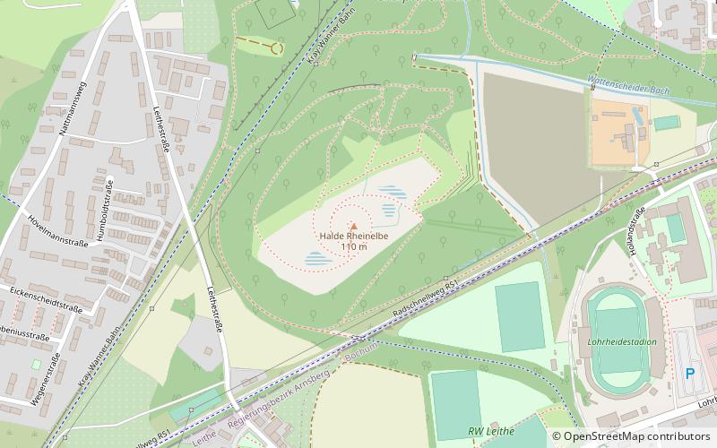
Map

Facts and practical information
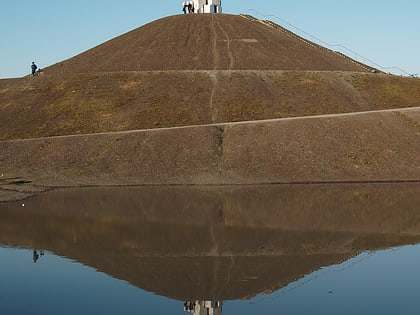
The Rheinelbe slagheap is a walkable and drivable tailings pile about 100 m above sea level in Gelsenkirchen-Ückendorf. It is located there at the Leithestraße near the Halfmannshof. The Rheinelbe slag heap is very popular with dirt bike, downhill and freeride riders, who have built themselves various routes outside the normal paths over the course of time.
Coordinates: 51°29'15"N, 7°6'45"E
Address
Gelsenkirchen-Süd (Ückendorf)Gelsenkirchen
ContactAdd
Social media
Add
Day trips
Halde Rheinelbe – popular in the area (distance from the attraction)
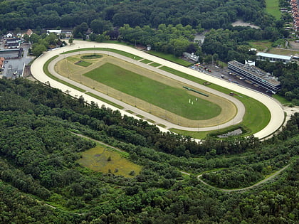
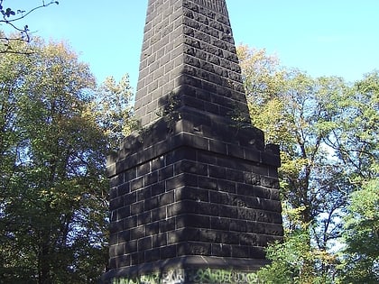
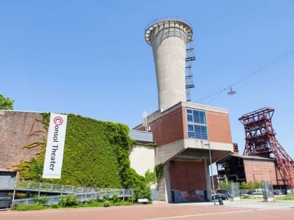
Nearby attractions include: Zollverein Coal Mine Industrial Complex, GelsenTrabPark, Musiktheater im Revier, Red Dot Design Museum.
Frequently Asked Questions (FAQ)
How to get to Halde Rheinelbe by public transport?
The nearest stations to Halde Rheinelbe:
Bus
Tram
Train
Bus
- Lahmbecke • Lines: 365 (9 min walk)
- Halfmannsweg • Lines: 389 (9 min walk)
Tram
- Gesamtschule Ückendorf • Lines: 302 (14 min walk)
- Watermanns Weg • Lines: 302 (15 min walk)
Train
- Gelsenkirchen-Rotthausen (28 min walk)
- Wattenscheid (39 min walk)
