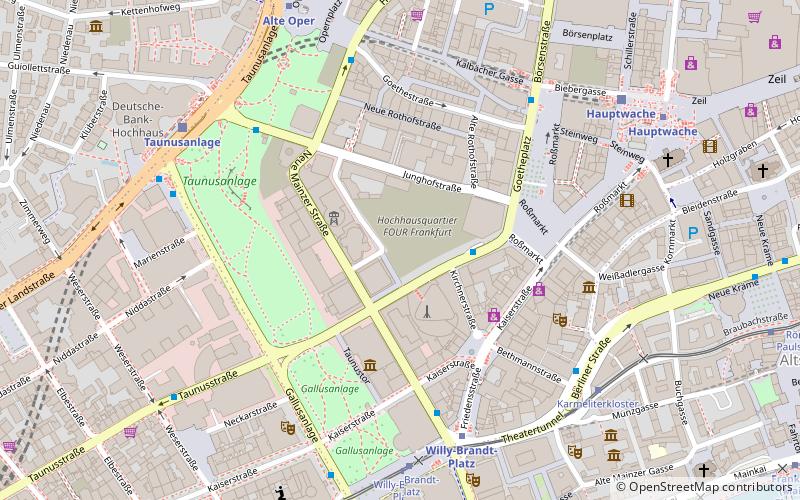
Four, Frankfurt
Map

Map

Facts and practical information
Four, also known as Four Frankfurt, is a major mixed-use skyscraper project in Frankfurt, consisting of a complex of four skyscrapers under construction. It is located in the area known as the Deutsche Bank triangle in the Innenstadt borough. The tallest skyscraper will have a height of 233 metres, making it both Frankfurt and Germany's third-tallest building upon its estimated completion in 2023. ()
Address
InnenstadtFrankfurt
ContactAdd
Social media
Add
Day trips
Four – popular in the area (distance from the attraction)
Nearby attractions include: Goethestraße, Freßgass, Kaiserhofstraße, Hochstraße.
Frequently Asked Questions (FAQ)
Which popular attractions are close to Four?
Nearby attractions include Omniturm, Frankfurt (2 min walk), Garden Tower, Frankfurt (2 min walk), Commerzbank Tower, Frankfurt (2 min walk), Main Tower, Frankfurt (2 min walk).
How to get to Four by public transport?
The nearest stations to Four:
Bus
Metro
Tram
Train
Bus
- Roßmarkt • Lines: N8 (2 min walk)
- Willy-Brandt-Platz • Lines: N12, N4, N5, N8 (5 min walk)
Metro
- Willy-Brandt-Platz • Lines: U1, U2, U3, U4, U5, U8 (5 min walk)
- Alte Oper • Lines: U6, U7 (7 min walk)
Tram
- Willy-Brandt-Platz • Lines: 11, 12, 14, EEx (6 min walk)
- Karmeliterkloster • Lines: 11, 12, 14 (6 min walk)
Train
- Taunusanlage (7 min walk)
- Hauptwache (7 min walk)


