Degerloch, Stuttgart
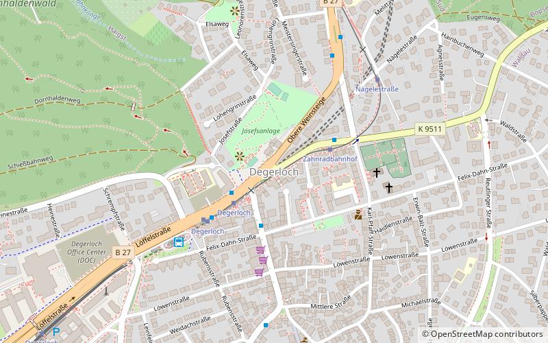
Map
Facts and practical information
Degerloch is one of the stadtbezirke, or city districts, of Stuttgart in Baden-Württemberg, Germany. Degerloch was founded 1956 by fusing the former municipality with the same name and the former district of Hoffeld. Degerloch is a traditional wine-growing area. Degerloch is connected by the Stuttgart Rack Railway to the city of Stuttgart. Its population is 16,527. ()
Address
DegerlochStuttgart
ContactAdd
Social media
Add
Getting there by public transportation
Public transportation stops near this location
- Bus
- Tram
- Light rail
 Bus
Bus
- Calculate routeEpplestraße 3 min walk
- Calculate routeDegerloch 3 min walk
- Calculate routeZahnradbahnhof 3 min walk
- Calculate routeDegerloch ZOB 5 min walk
- Calculate routeZahnradbahnhof 3 min walk
- Calculate routeDegerloch 3 min walk
- Calculate routeNägelestraße 6 min walk
- Calculate routeHaigst 10 min walk
- Calculate routeDegerloch 4 min walk
- Calculate routeWeinsteige 11 min walk
- Calculate routePeregrinastraße 17 min walk
Day trips


Frequently Asked Questions (FAQ)
Which popular attractions are close to Degerloch?
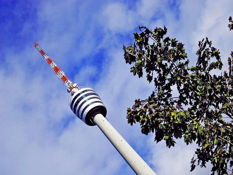
Nearby attractions include Bopser, Stuttgart (15 min walk), Stuttgart-Degerloch water tower, Stuttgart (16 min walk), Dornhaldenfriedhof, Stuttgart (19 min walk).
How to get to Degerloch by public transport?
The nearest stations to Degerloch:
Bus
Tram
Light rail
Bus
- Epplestraße • Lines: 70, 71, 76, N10, N9 (3 min walk)
- Degerloch • Lines: 78, N8, N9 (3 min walk)
Tram
- Zahnradbahnhof • Lines: 10 (3 min walk)
- Degerloch • Lines: 10 (3 min walk)
Light rail
- Degerloch • Lines: U12, U5, U6, U8 (4 min walk)
- Weinsteige • Lines: U12, U5, U6, U8 (11 min walk)