Bergmannstraße, Munich
Map
Gallery
Facts and practical information
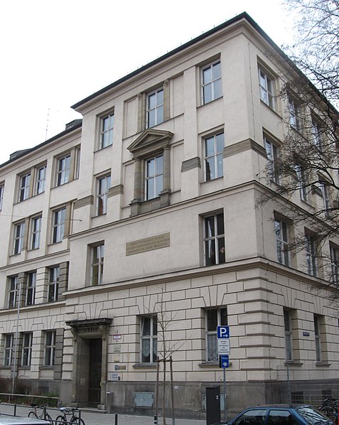
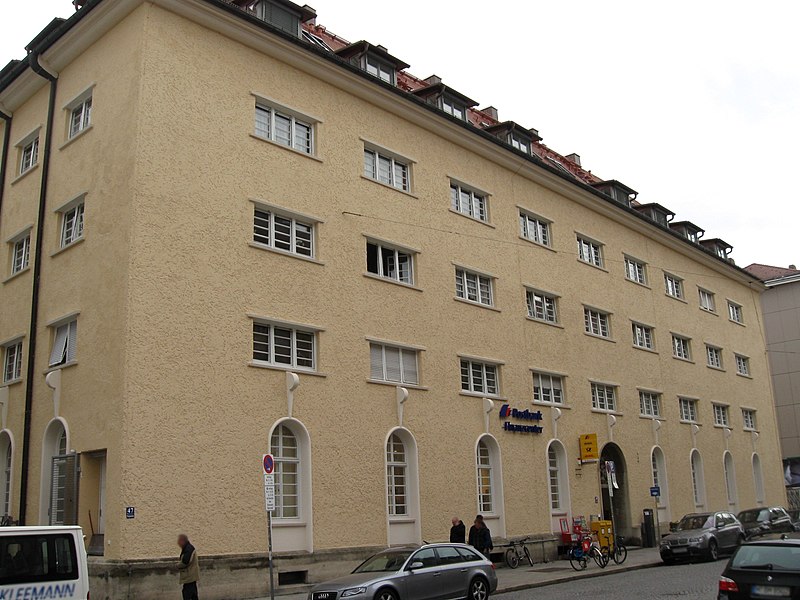
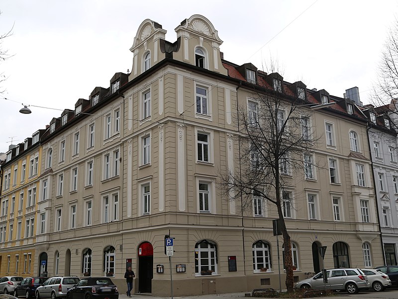
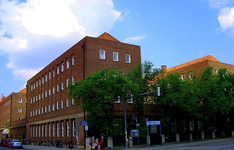
The Bergmannstraße is a street in Munich and lies west of the city center. It leads from Landsberger Straße in the north to Ridlerstraße in the south and is located in the district of Schwanthalerhöhe. The formerly referred to as Sendlinger way road, was named in 1883 after the lawyer, historian and archivist Michael Adam von Bergmann, who was city chief judge starting in 1762 and then became mayor in Munich. ()
Address
Schwanthalerhöhe (Westend)Munich
ContactAdd
Social media
Add
Day trips
Bergmannstraße – popular in the area (distance from the attraction)
Nearby attractions include: Theresienwiese, Bavaria, Donnersbergerstraße, Audi Dome.
Frequently Asked Questions (FAQ)
Which popular attractions are close to Bergmannstraße?
Nearby attractions include Gollierplatz, Munich (2 min walk), Trappentreustraße, Munich (4 min walk), Tulbeckstraße, Munich (4 min walk), Landsberger Straße, Munich (6 min walk).
How to get to Bergmannstraße by public transport?
The nearest stations to Bergmannstraße:
Bus
Tram
Metro
Train
Bus
- Bergmannstraße • Lines: 153, 53 (3 min walk)
- Gollierplatz • Lines: 153, 53, 63, N43, N44 (4 min walk)
Tram
- Trappentreustraße • Lines: 18, 19, 29, N19 (7 min walk)
- Schrenkstraße • Lines: 18, 19, 29, N19 (8 min walk)
Metro
- Schwanthalerhöhe • Lines: U4, U5 (7 min walk)
- Heimeranplatz • Lines: U4, U5 (8 min walk)
Train
- Heimeranplatz (10 min walk)
- Donnersbergerbrücke (11 min walk)


