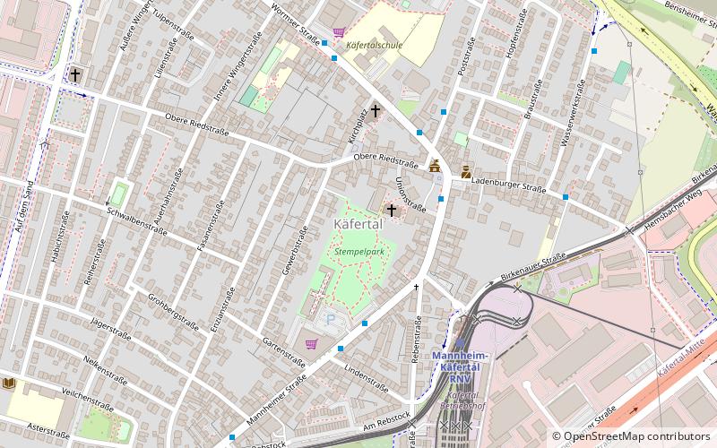
Käfertal, Mannheim
Map
Facts and practical information
Käfertal is a borough of Mannheim, Baden-Württemberg, Germany in the Rhine-Neckar metropolitan region which is divided into the quarters Käfertal-Mitte, Speckweggebiet, Käfertal-Süd, Sonnenschein and Franklin. It has a population of 26,446 people as of December 31, 2019. ()
Address
KäfertalMannheim
ContactAdd
Social media
Add
Getting there by public transportation
Public transportation stops near this location
- Bus
- Tram
- Train
 Bus
Bus
- Calculate routeKäfertal Rathaus 3 min walk
- Calculate routeKulturhaus 4 min walk
- Calculate routeMalzstraße 4 min walk
- Calculate routeKäfertal Bahnhof Steig E 4 min walk
- Calculate routeMannheim-Käfertal RNV 5 min walk
- Calculate routeBensheimer Straße 14 min walk
- Calculate routeVogelstang West 20 min walk
- Calculate routeMannheim-Käfertal 23 min walk
- Calculate routeMannheimer Straße 8 min walk
- Calculate routeKäfertal Süd 15 min walk
- Calculate routeBoveristraße 20 min walk
Day trips


Frequently Asked Questions (FAQ)
Which popular attractions are close to Käfertal?
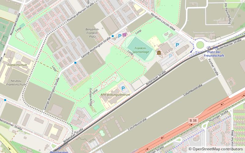
Nearby attractions include Benjamin Franklin Village, Mannheim (21 min walk), RaumZeitLabor, Mannheim (21 min walk).
How to get to Käfertal by public transport?
The nearest stations to Käfertal:
Bus
Train
Tram
Bus
- Käfertal Rathaus • Lines: 45, 53, 54, 55, 56, 67 (3 min walk)
- Kulturhaus • Lines: 45, 64 (4 min walk)
Train
- Mannheim-Käfertal RNV (5 min walk)
- Bensheimer Straße (14 min walk)
Tram
- Mannheimer Straße (8 min walk)
- Käfertal Süd (15 min walk)