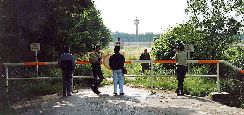
Inner German border, Brandenburg an der Havel
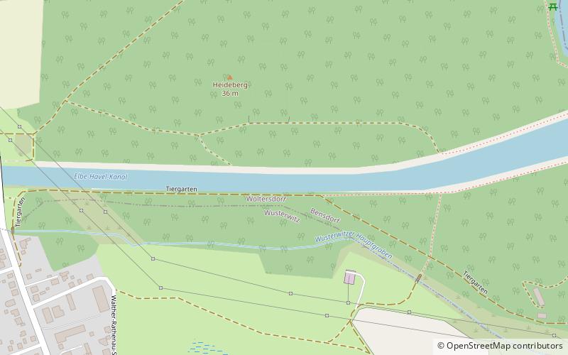
Map
Gallery
Facts and practical information
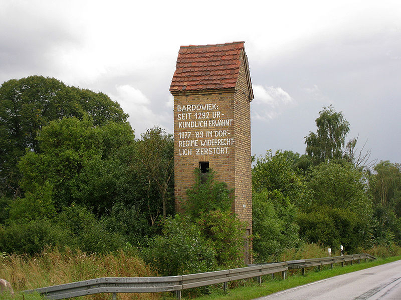
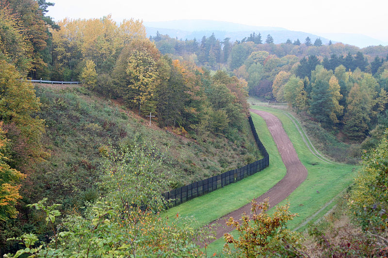
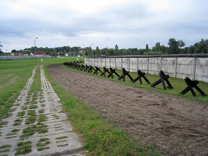
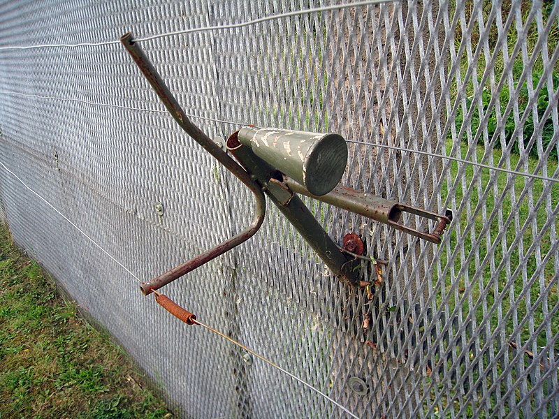
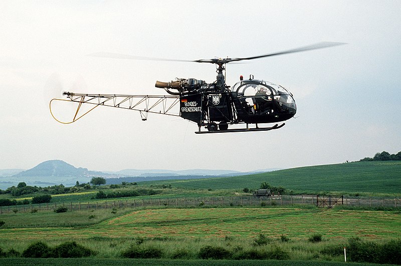
The Inner German border was the border between the German Democratic Republic and the Federal Republic of Germany from 1949 to 1990. Not including the similar and physically separate Berlin Wall, the border was 1,393 kilometres long and ran from the Baltic Sea to Czechoslovakia. ()
Address
Brandenburg an der Havel
ContactAdd
Social media
Add
Day trips
Inner German border – popular in the area (distance from the attraction)
Nearby attractions include: Brandenburg Euthanasia Centre, Quenzsee, Breitlingsee, Millenial bridge.
Frequently Asked Questions (FAQ)
How to get to Inner German border by public transport?
The nearest stations to Inner German border:
Bus
Bus
- Neuendorf • Lines: F/526 (11 min walk)
- Am Anger • Lines: F/526 (13 min walk)


