Zionskirchplatz, Berlin
Map
Map

Facts and practical information
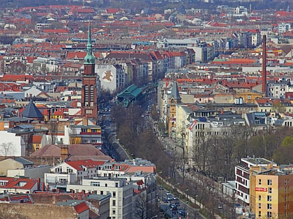
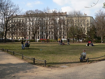
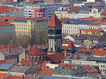
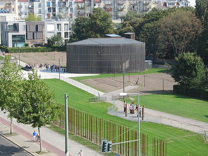
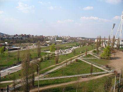
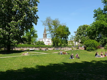
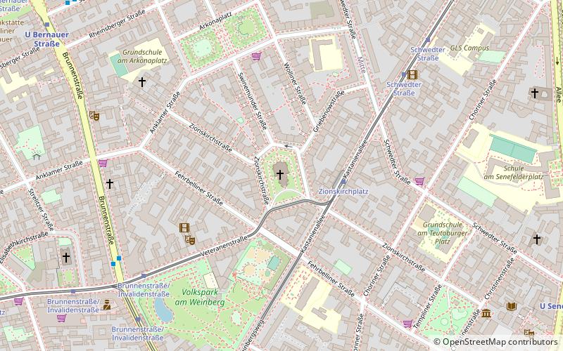
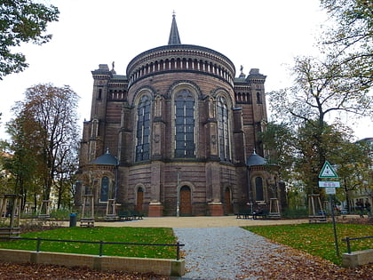
Zionskirchplatz is a pentagonal square in the Rosenthaler Vorstadt, a district of Berlin's Mitte district. It is located on the approximately 53 meter high Veteranenberg, an elevation on the southwestern edge of the Barnim plateau and is registered as a garden monument with the number 09010210 in the Berlin State Monument List. ()
Address
MitteBerlin
ContactAdd
Social media
Add
Day trips
Zionskirchplatz – popular in the area (distance from the attraction)
Nearby attractions include: Schönhauser Allee, Friedrich-Ludwig-Jahn-Sportpark, B-flat, Kollwitzplatz.
Frequently Asked Questions (FAQ)
Which popular attractions are close to Zionskirchplatz?
Nearby attractions include Volkspark am Weinberg, Berlin (5 min walk), Arkonaplatz, Berlin (6 min walk), Museum for Architectural Drawing, Berlin (9 min walk), David Hasselhoff Museum, Berlin (9 min walk).
How to get to Zionskirchplatz by public transport?
The nearest stations to Zionskirchplatz:
Tram
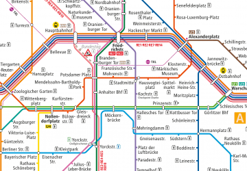
Metro
Bus
Train
Tram
- Zionskirchplatz • Lines: 12, M1 (2 min walk)
- Schwedter Straße • Lines: 12, M1 (6 min walk)
Metro
- U Rosenthaler Platz • Lines: U8 (9 min walk)
- U Bernauer Straße • Lines: U8 (10 min walk)
Bus
- Alexanderplatz • Lines: 002, 057, 065, 070, 125, 1385, 170, 270, 370, N13, N1385, N232, N44, N70 (24 min walk)
Train
- Berlin Alexanderplatz (25 min walk)
- Berlin Gesundbrunnen (29 min walk)
 Metro
Metro