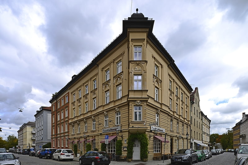
Herzogstraße, Munich
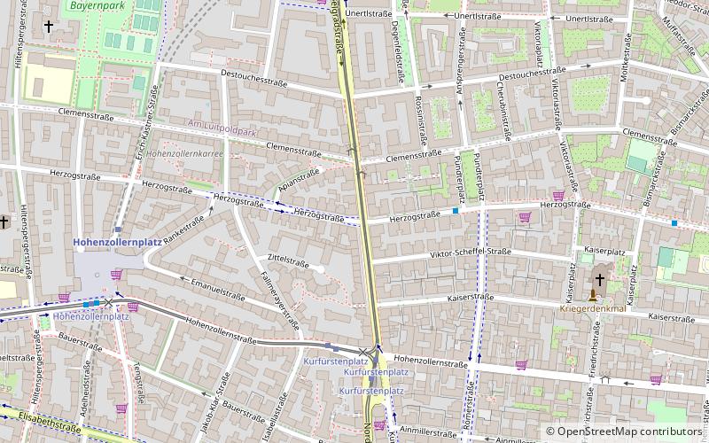
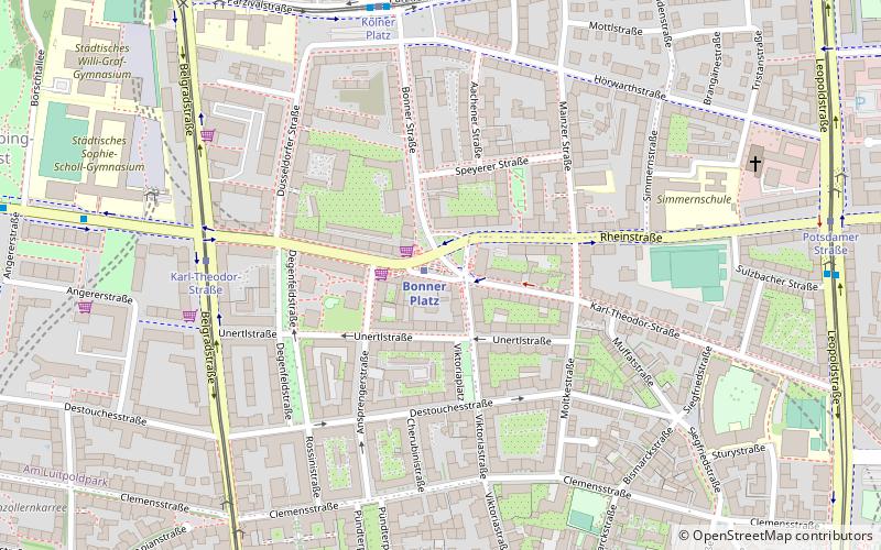
Map
Facts and practical information
Address
Schwabing - West (Neuschwabing)Munich
ContactAdd
Social media
Add
Getting there by public transportation
Public transportation stops near this location
- Metro
- Bus
- Tram
- Train
 Metro
Metro
- Calculate routeClemensstraße 2 min walk
- Calculate routeKurfürstenplatz 5 min walk
- Calculate routeKarl-Theodor-Straße 8 min walk
- Calculate routeHohenzollernplatz 8 min walk
- Calculate routePündterplatz 3 min walk
- Calculate routeKurfürstenplatz 4 min walk
- Calculate routeHohenzollernplatz 8 min walk
- Calculate routeFriedrichstraße 9 min walk
- Calculate routeHohenzollernplatz 7 min walk
- Calculate routeBonner Platz 9 min walk
- Calculate routeMünchner Freiheit 14 min walk
- Calculate routeJosephsplatz 15 min walk
- Calculate routeDietlindenstraße 21 min walk
Day trips


Frequently Asked Questions (FAQ)
Which popular attractions are close to Herzogstraße?
Nearby attractions include Clemensstraße, Munich (2 min walk), Kurfürstenplatz, Munich (5 min walk), Bavarian State Painting Collections, Munich (7 min walk), Museum Witt, Munich (9 min walk).
How to get to Herzogstraße by public transport?
The nearest stations to Herzogstraße:
Tram
Bus
Metro
Train
Tram
- Clemensstraße • Lines: 12, 28 (2 min walk)
- Kurfürstenplatz • Lines: 12, 27, 28, N27 (5 min walk)
Bus
- Pündterplatz • Lines: 53, 59, N43 (3 min walk)
- Kurfürstenplatz • Lines: 53, 59, N43, N44 (4 min walk)
Metro
- Hohenzollernplatz • Lines: U2, U8 (7 min walk)
- Bonner Platz • Lines: U3 (9 min walk)
Train
- Dietlindenstraße (21 min walk)