Rothenbaumchaussee, Hamburg
Map
Facts and practical information
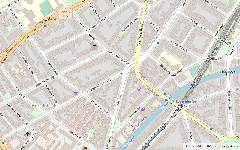
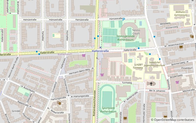
The Rothenbaumchaussee is an inner-city street in the Hamburg quarters of Rotherbaum and Harvestehude. It runs from the Edmund-Siemers-Allee at Hamburg Dammtor station to the Klosterstern square. ()
Day trips
Rothenbaumchaussee – popular in the area (distance from the attraction)
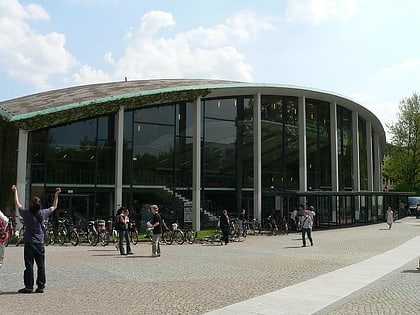
Nearby attractions include: Museum of Ethnology, Außenalster, Heinrich-Hertz-Turm, Planten un Blomen.
Frequently Asked Questions (FAQ)
Which popular attractions are close to Rothenbaumchaussee?
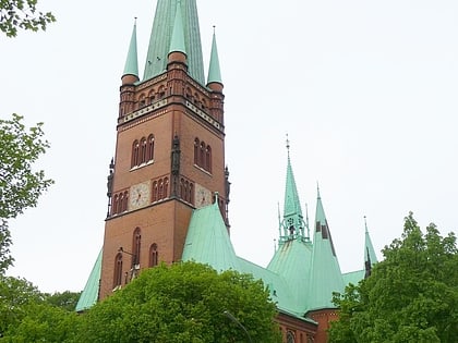
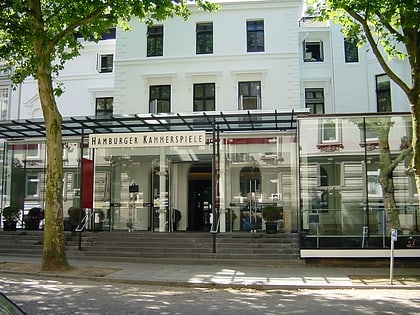
Nearby attractions include Hamburger Kammerspiele, Hamburg (6 min walk), St. Johannis, Hamburg (6 min walk), Rotherbaum, Hamburg (7 min walk), Museum of Ethnology, Hamburg (7 min walk).
How to get to Rothenbaumchaussee by public transport?
The nearest stations to Rothenbaumchaussee:
Bus
Metro
Ferry
Train
Light rail
Bus
- U Hallerstraße • Lines: 114, 15, 605 (2 min walk)
- Alsterchaussee • Lines: 15, 19, 605 (5 min walk)
Metro
- Hallerstraße • Lines: U1 (2 min walk)
- Hoheluftbrücke • Lines: U3 (17 min walk)
Ferry
- Fährdamm • Lines: Alsterkreuzfahrt (15 min walk)
- Rabenstraße • Lines: Alsterkreuzfahrt (17 min walk)
Train
- Hamburg Dammtor / Universität (20 min walk)
Light rail
- Hamburg Dammtor / Universität • Lines: S11, S21, S31 (20 min walk)
- Sternschanze • Lines: S11, S21, S31 (27 min walk)


