Candidstraße, Munich
Map
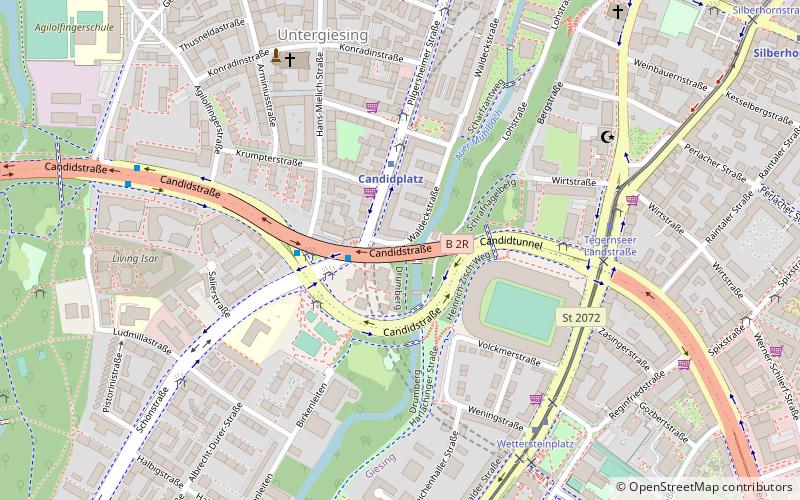
Map

Facts and practical information
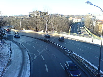
Candidstraße is an inner-city street in Munich and a section of the Mittlerer Ring. ()
Address
Untergiesing-Harlaching (Untergiesing)Munich
ContactAdd
Social media
Add
Day trips
Candidstraße – popular in the area (distance from the attraction)
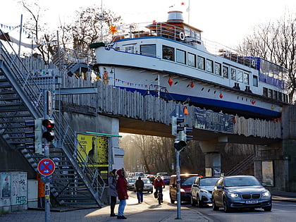
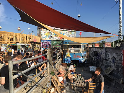
Nearby attractions include: Deutsches Museum, Alte Utting, Bahnwärter Thiel, Tierpark Hellabrunn.
Frequently Asked Questions (FAQ)
Which popular attractions are close to Candidstraße?
Nearby attractions include Cathedral of the Intercession of the Mother of God and of St. Andrew, Munich (13 min walk), Nockherstraße, Munich (18 min walk), Wittelsbacherbrücke, Munich (20 min walk), Tegernseer Landstraße, Munich (21 min walk).
How to get to Candidstraße by public transport?
The nearest stations to Candidstraße:
Bus
Metro
Tram
Train
Bus
- Candidplatz • Lines: 153, 52, 54, N43, N44, X30 (3 min walk)
- Jakob-Gelb-Platz • Lines: 52 (4 min walk)
Metro
- Candidplatz • Lines: U1 (3 min walk)
- Wettersteinplatz • Lines: U1 (8 min walk)
Tram
- Tegernseer Landstraße • Lines: 25, N27 (6 min walk)
- Wettersteinplatz • Lines: 25, N27 (6 min walk)
Train
- Brudermühlstraße (28 min walk)
- Giesing (29 min walk)
