Europaviertel, Frankfurt
Map
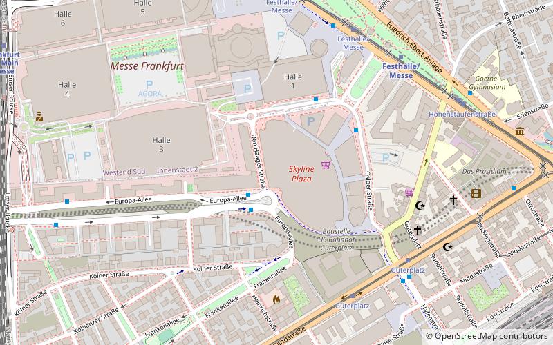
Map

Facts and practical information
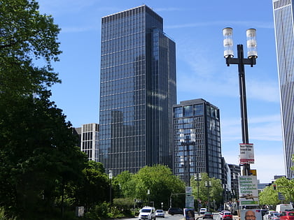
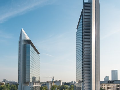
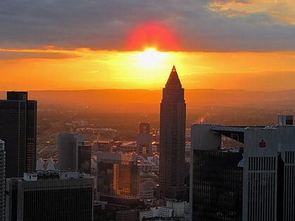
The Europaviertel is a housing and business quarter development in the Gallus district of Frankfurt am Main, Germany. Development work began in 2005, and the development is scheduled for completion by 2019. The area will have offices, hotels, apartments, parks, shopping, and leisure facilities. After its completion, Europaviertel will approximately have a population of 30,000 workers and 10,000 residents. The Skyline Plaza complex, including a shopping mall and congress center, is within the district. ()
Address
Innenstadt (Gallusviertel)Frankfurt
ContactAdd
Social media
Add
Day trips
Europaviertel – popular in the area (distance from the attraction)
Nearby attractions include: Skyline Plaza, Naturmuseum Senckenberg, Bockenheimer Depot, Marienturm.
Frequently Asked Questions (FAQ)
Which popular attractions are close to Europaviertel?
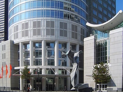
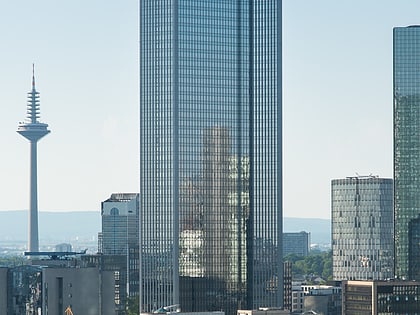
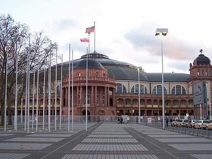
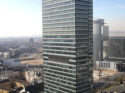
Nearby attractions include Skyline Plaza, Frankfurt (1 min walk), Millennium Tower, Frankfurt (5 min walk), Festhalle Frankfurt, Frankfurt (5 min walk), Kastor, Frankfurt (5 min walk).
How to get to Europaviertel by public transport?
The nearest stations to Europaviertel:
Bus
Tram
Metro
Train
Bus
- Den Haager Straße • Lines: M46 (2 min walk)
- Platz der Einheit • Lines: M46 (3 min walk)
Tram
- Güterplatz • Lines: 11, 14, 21 (6 min walk)
- Festhalle/Messe • Lines: 16, 17, EEx (7 min walk)
Metro
- Festhalle/Messe • Lines: U4 (6 min walk)
- Hauptbahnhof • Lines: U4, U5 (14 min walk)
Train
- Frankfurt am Main Messe (11 min walk)
- Hauptbahnhof (13 min walk)


