Neuenheimer Feld, Heidelberg
Map
Map

Facts and practical information
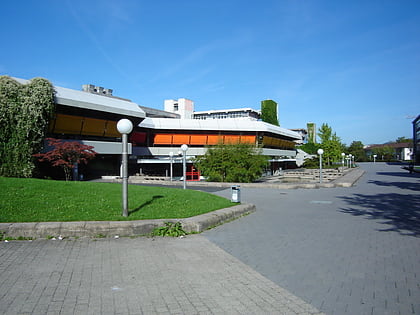
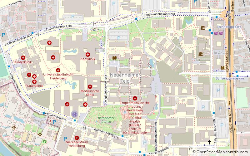
Neuenheimer Feld is an area in the city of Heidelberg, Baden-Württemberg, Germany. The area lies on the north side of the Neckar river and consists mostly of buildings associated with the University of Heidelberg, including student accommodation and research facilities, as well as the University Hospital Heidelberg. The German Cancer Research Center and the Max Planck Society also have facilities on the site. ()
Address
Heidelberg
ContactAdd
Social media
Add
Day trips
Neuenheimer Feld – popular in the area (distance from the attraction)
Nearby attractions include: Zoo Heidelberg, Prinzhorn Collection, Botanischer Garten, Heidelberg-Bergheim.
Frequently Asked Questions (FAQ)
Which popular attractions are close to Neuenheimer Feld?
Nearby attractions include University Hospital Heidelberg, Heidelberg (4 min walk), Botanischer Garten, Heidelberg (4 min walk), Zoo Heidelberg, Heidelberg (10 min walk), Dezernat 16, Heidelberg (18 min walk).
How to get to Neuenheimer Feld by public transport?
The nearest stations to Neuenheimer Feld:
Bus
Train
Tram
Ferry
Bus
- Botanischer Garten • Lines: 20, 31, 32, 713, M5 (5 min walk)
- Kopfklinik • Lines: 31, 32, 37, 713, 724, M5 (5 min walk)
Train
- Bunsengymnasium (9 min walk)
- Berufsschule (18 min walk)
Tram
- Bunsengymnasium • Lines: 21, 24 (9 min walk)
- Technologiepark • Lines: 21, 24 (10 min walk)
Ferry
- Campus • Lines: Neckarfähre (12 min walk)
- Marriott Hotel • Lines: Neckarfähre (14 min walk)
