Invalidenstraße, Berlin
Map
Facts and practical information
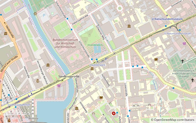
The Invalidenstraße is a street in Berlin, Germany. It runs east to west for 3 kilometers through the districts of Mitte and Moabit. The street originally connected three important railway stations in the northern city centre: the Stettiner Bahnhof, the Hamburger Bahnhof and the Lehrter Bahnhof, the present-day Berlin Hauptbahnhof. ()
Address
MitteBerlin
ContactAdd
Social media
Add
Day trips
Invalidenstraße – popular in the area (distance from the attraction)
Nearby attractions include: Tränenpalast, Unity Flag, Hamburger Bahnhof, Reichstag dome.
Frequently Asked Questions (FAQ)
Which popular attractions are close to Invalidenstraße?
Nearby attractions include Museum für Naturkunde, Berlin (5 min walk), Hamburger Bahnhof, Berlin (5 min walk), Dorotheenstadt cemetery, Berlin (9 min walk), Invalids' Cemetery, Berlin (9 min walk).
How to get to Invalidenstraße by public transport?
The nearest stations to Invalidenstraße:
Tram
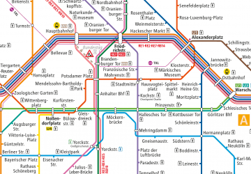
Metro
Train
Bus
Tram
- Invalidenpark • Lines: M10, M5, M8 (1 min walk)
- U Naturkundemuseum • Lines: 12, M10, M5, M8 (8 min walk)
Metro
- U Naturkundemuseum • Lines: U6 (8 min walk)
- U Hauptbahnhof • Lines: U5 (9 min walk)
Train
- Berlin Central Station (10 min walk)
- Berlin Friedrichstraße (19 min walk)
Bus
- Perleberger Brücke • Lines: 123, 142 (24 min walk)
 Metro
Metro


