Palakkarai, Tiruchirappalli
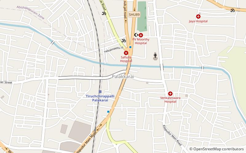
Map
Facts and practical information
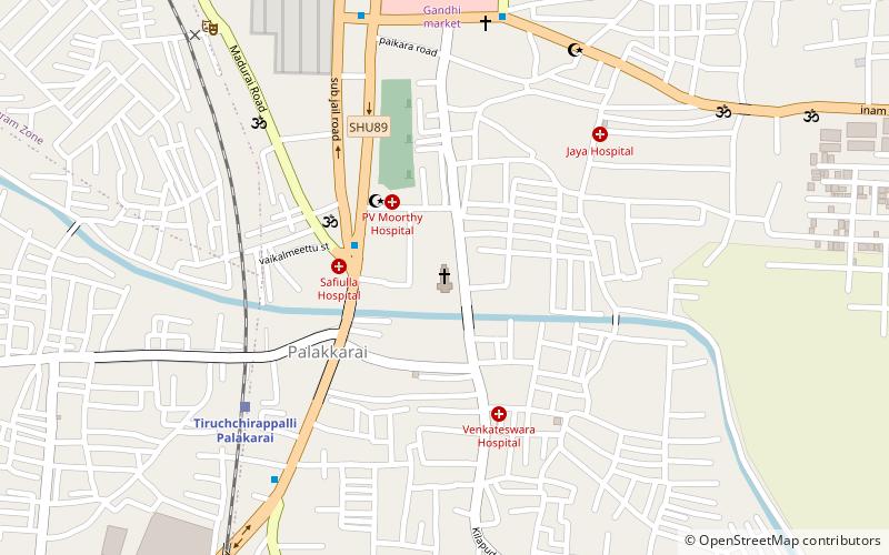
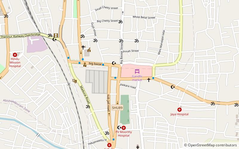
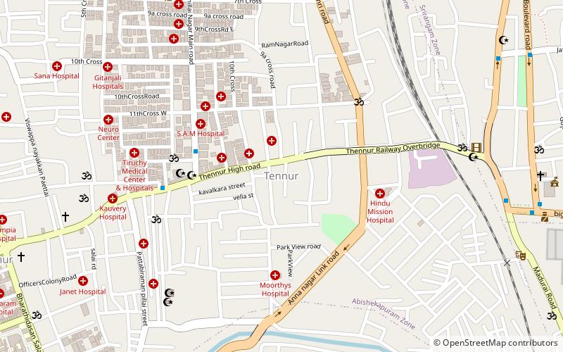
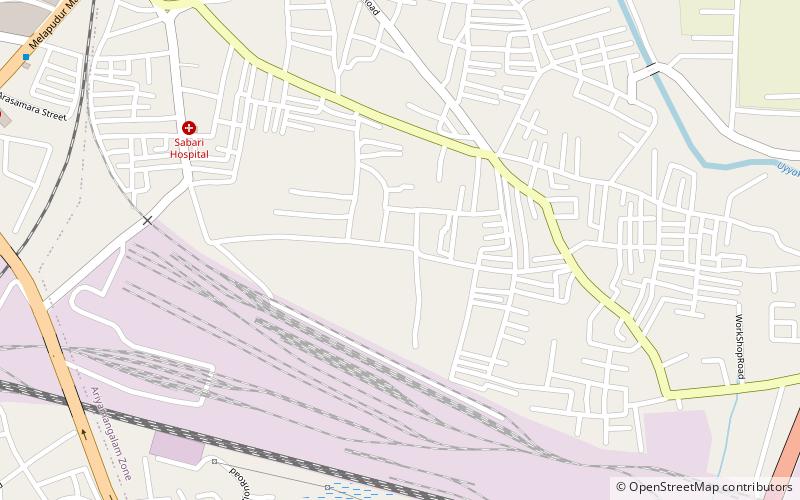
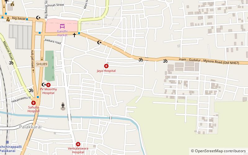
Palakkarai is a neighbourhood of the Indian city of Tiruchirappalli, Tamil Nadu. It is the main residential and densely populated area in the city, including many slums. Many city buses ply through this area. A famous historical church is also located here, which is visited by many foreigners. It is situated in the southern part of the city. It is served by a railway station. ()
Coordinates: 10°48'32"N, 78°41'45"E
Address
Tiruchirappalli
ContactAdd
Social media
Add
Day trips
Palakkarai – popular in the area (distance from the attraction)
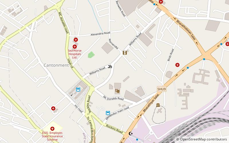
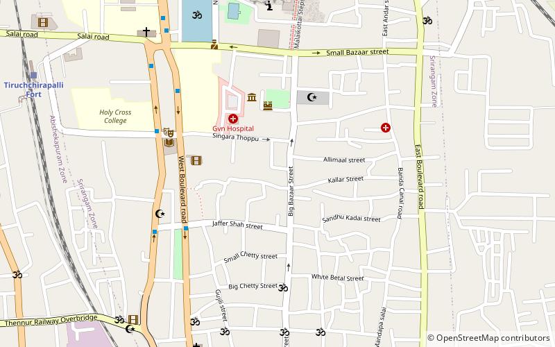
Nearby attractions include: Basilica of the Holy Redeemer, Government Museum, Tiruchirappalli Cantonment, Tiruchirappalli Fort.
Frequently Asked Questions (FAQ)
Which popular attractions are close to Palakkarai?
Nearby attractions include Basilica of the Holy Redeemer, Tiruchirappalli (5 min walk), Beema Nagar, Tiruchirappalli (10 min walk), World War I Memorial, Tiruchirappalli (12 min walk), Varahaneri, Tiruchirappalli (13 min walk).
How to get to Palakkarai by public transport?
The nearest stations to Palakkarai:
Train
Bus
Train
- Tiruchchirappalli Palakarai (4 min walk)
- Tiruchchirappalli Junction (32 min walk)
Bus
- bus stop (29 min walk)
- Omni Bus stand (31 min walk)
