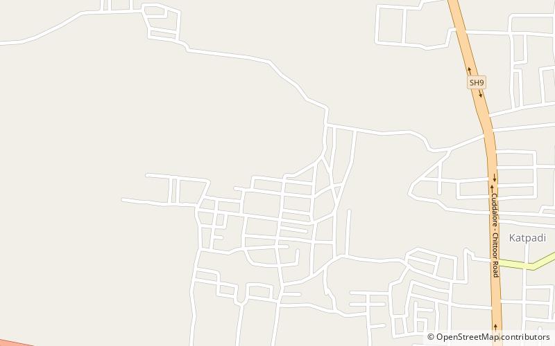
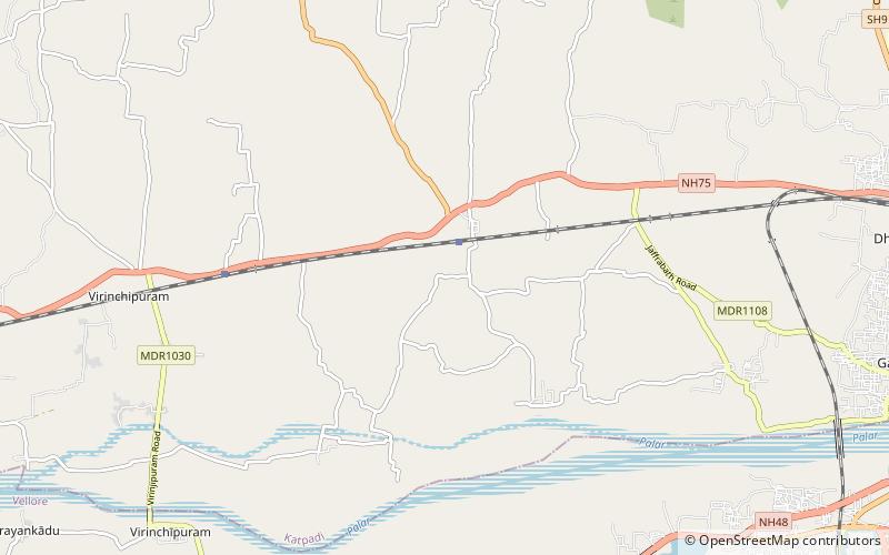
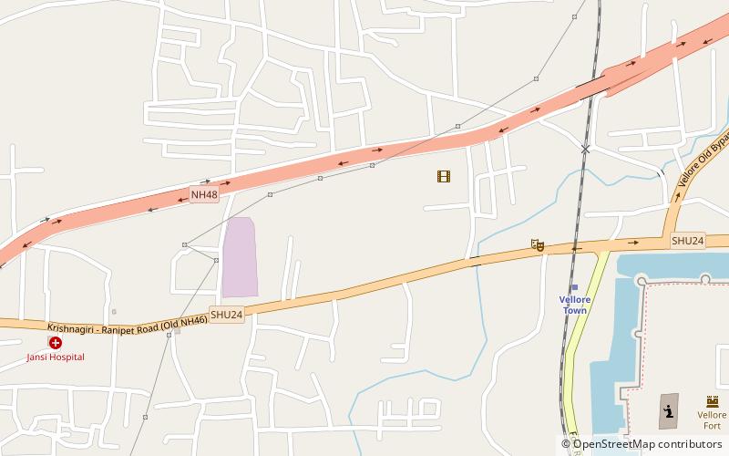
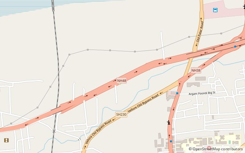
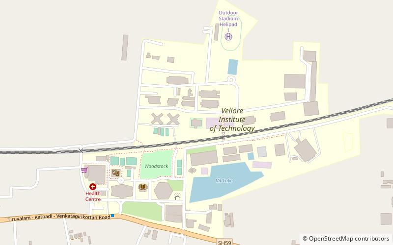
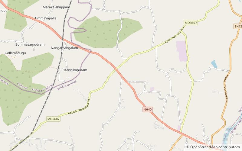
Katpadi taluk, Vellore
Map
Facts and practical information
Katpadi taluk is a taluk in Vellore district of the Indian state of Tamil Nadu. The headquarters of the taluk is the town of Katpadi. ()
Coordinates: 12°58'48"N, 79°7'48"E
Address
Vellore
ContactAdd
Social media
Add
Getting there by public transportation
Public transportation stops near this location
- Train
 Train
Train
- Calculate routeKatpadi Junction 21 min walk
Day trips


Frequently Asked Questions (FAQ)
How to get to Katpadi taluk by public transport?
The nearest stations to Katpadi taluk:
Train
Train
- Katpadi Junction (21 min walk)