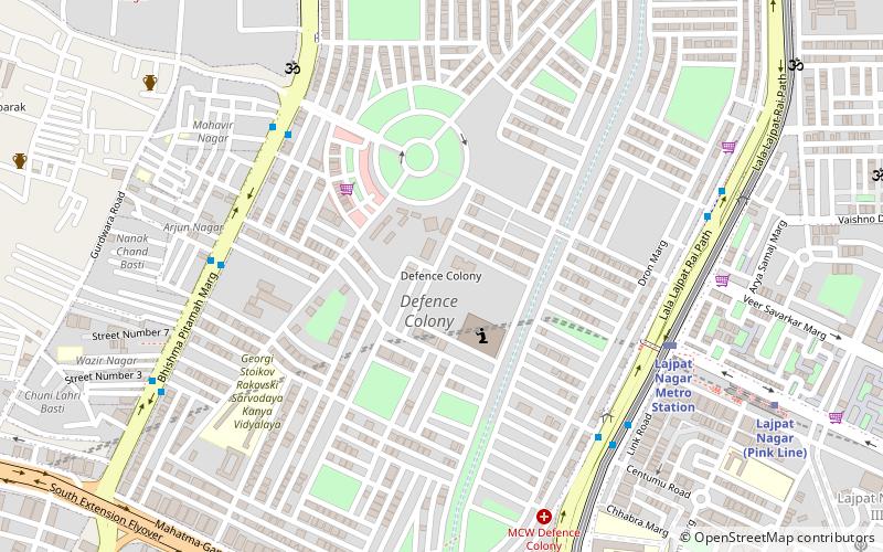
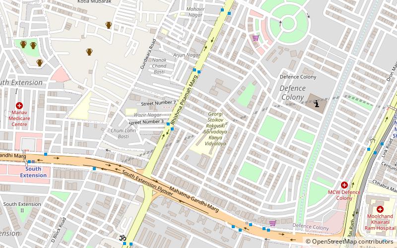
Defence Colony, Delhi
Map
Facts and practical information
Defence Colony is an affluent neighbourhood in Delhi. It was built in the 1960s for veterans of the Indian Armed Forces. It serves as the administrative headquarters of the South East Delhi district of Delhi. ()
Coordinates: 28°34'18"N, 77°13'55"E
Address
South Delhi (Defence Colony)Delhi
ContactAdd
Social media
Add
Getting there by public transportation
Public transportation stops near this location
- Metro
- Bus
- Train
 Metro
Metro
- Calculate routeSukhdev Vihar 7 min walk
- Calculate routeDefence Colony 7 min walk
- Calculate routeLajpat Nagar 11 min walk
- Calculate routeMoolchand 14 min walk
- Calculate routeSouth Extension 19 min walk
- Calculate routeSewa Nagar 15 min walk
- Calculate routeLajpat Nagar 23 min walk
- Calculate routeLodhi Colony 28 min walk
Maps Metro
Metro
MetroDay trips


Frequently Asked Questions (FAQ)
Which popular attractions are close to Defence Colony?
Nearby attractions include Manesar, Delhi (5 min walk), St. Luke's Church, Delhi (8 min walk), Vikram Vihar, Delhi (16 min walk), South Extension, Delhi (19 min walk).
How to get to Defence Colony by public transport?
The nearest stations to Defence Colony:
Bus
Metro
Train
Bus
- Sukhdev Vihar • Lines: 375, 440, 450, 47A, 48, 521, 522, 522A (7 min walk)
- Defence Colony • Lines: 440, 450, 47A, 48, 521, 522, 623 (7 min walk)
Metro
- Lajpat Nagar • Lines: Pink Line, Violet Line (11 min walk)
- Moolchand • Lines: Violet Line (14 min walk)
Train
- Sewa Nagar (15 min walk)
- Lajpat Nagar (23 min walk)