Maharani Bagh, Delhi
Map
Facts and practical information
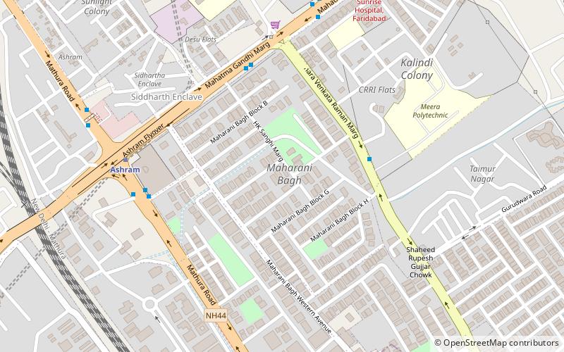
Maharani Bagh is a residential area in South East Delhi, comprising several blocks and multiple markets. It is one of the most posh and upscale neighbourhoods of Delhi and is home to some of the most influential families from government and business. Maharani Bagh is a sought after, gated residential area within New Friends Colony and consists of residential parks surrounded by large bungalows. Some of its notable residents include Deena Rahul Devendran, Manya Seth, BJP leader Meneka Gandhi and, spokesperson and businessman, Suhel Seth. ()
Coordinates: 28°34'19"N, 77°15'48"E
Address
South Delhi (Okhla)Delhi
ContactAdd
Social media
Add
Getting there by public transportation
Public transportation stops near this location
- Metro
- Bus
- Train
 Metro
Metro
- Calculate routeTaimoor Nagar 5 min walk
- Calculate routeMaharani Bagh 6 min walk
- Calculate routeAshram 7 min walk
- Calculate routeAshram 8 min walk
- Calculate routeVinobapuri 25 min walk
- Calculate routeSukhdev Vihar 28 min walk
- Calculate routeHazrat Nizamuddin 32 min walk
- Calculate routeOkhla 23 min walk
- Calculate routeLajpat Nagar 33 min walk
- Calculate routeHazrat Nizamuddin Junction 34 min walk
Maps Metro
Metro
MetroDay trips


Frequently Asked Questions (FAQ)
How to get to Maharani Bagh by public transport?
The nearest stations to Maharani Bagh:
Bus
Metro
Train
Bus
- Taimoor Nagar • Lines: 534A (5 min walk)
- Maharani Bagh • Lines: (+) Oms, (+) Tms, 306, 311A, 323, 392, 469, 492, 507, 543A, 543B, 611 (6 min walk)
Metro
- Ashram • Lines: Pink Line (8 min walk)
- Vinobapuri • Lines: Pink Line (25 min walk)
Train
- Okhla (23 min walk)
- Lajpat Nagar (33 min walk)