Rajouri Garden, Delhi
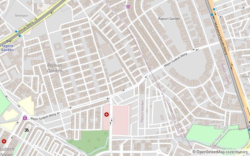
Map
Facts and practical information
Rajouri Garden is a market and residential neighbourhood in West Delhi, India. The Main Market and Nehru Market are the key markets of the area. The population is largely Punjabi who migrated to Delhi, following the Partition of India, from Pakistan in 1947. The postal code of Rajouri Garden is 110027. ()
Area: 0.76 mi²Coordinates: 28°38'29"N, 77°7'15"E
Address
West Delhi (Rajouri Garden)Delhi
ContactAdd
Social media
Add
Day trips
Rajouri Garden – popular in the area (distance from the attraction)
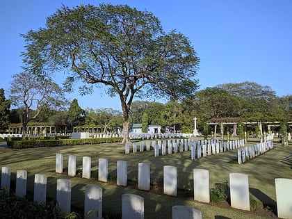
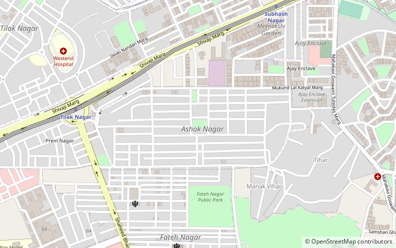
Nearby attractions include: Delhi War Cemetery, Ashok Nagar, Delhi/Central Delhi, C4E Market.
Frequently Asked Questions (FAQ)
How to get to Rajouri Garden by public transport?
The nearest stations to Rajouri Garden:
Bus
Metro
Bus
- Rajouri Garden • Lines: (+) Tms, 410, 410A, 448, 448A, 479A (12 min walk)
- Rajouri Garden Market • Lines: (-) Tms, 448, 448A, 479A (12 min walk)
Metro
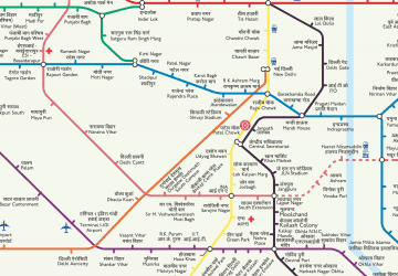
- Tagore Garden • Lines: Blue Line (14 min walk)
- Mayapuri • Lines: Pink Line (16 min walk)
 Metro
Metro