Yarmouk Stadium, Gaza Strip
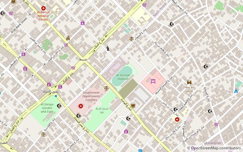
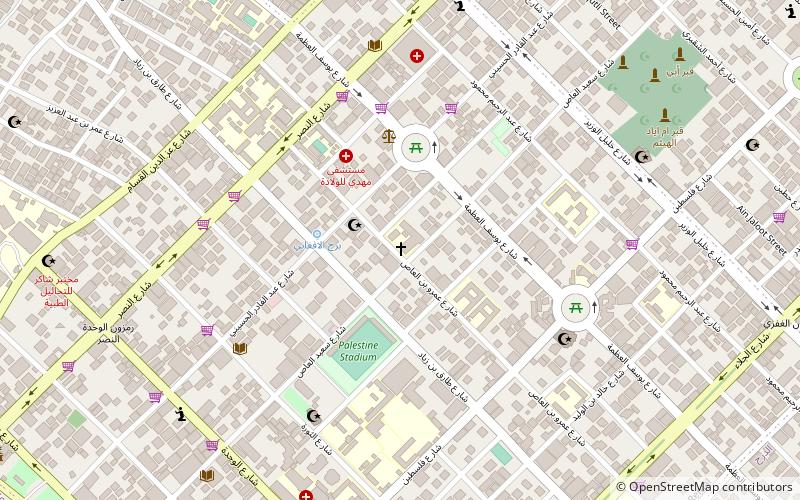
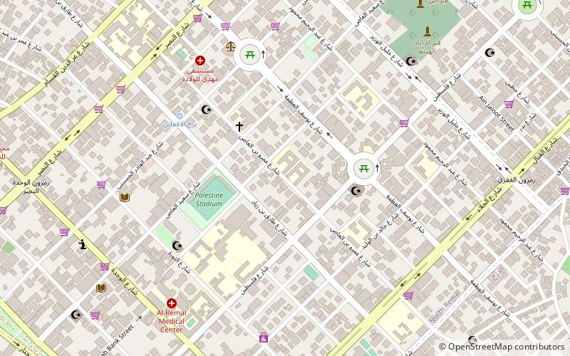
Map
Facts and practical information
Yarmouk Stadium is an association football stadium in Gaza City on the Gaza Strip. Yarmouk Stadium is one of the oldest Palestinian stadiums. It was opened in 1952 under Egyptian rule and was restored recently under the direct supervision of the Municipality of Gaza. It is the home stadium of the Gaza Sports Club. The stadium seats 9,000 spectators. ()
Address
Gaza Strip
ContactAdd
Social media
Add
Getting there by public transportation
Public transportation stops near this location
- Bus
 Bus
Bus
- Calculate routeمفترق الحايك 14 min walk
- Calculate routeAl-Azhar Bus Station 27 min walk
- Calculate routeAlazhar Bus Station 27 min walk
Day trips


Frequently Asked Questions (FAQ)
Which popular attractions are close to Yarmouk Stadium?
Nearby attractions include Palestine Square, Gaza Strip (14 min walk), Holy Family Church, Gaza Strip (17 min walk), Sayed al-Hashim Mosque, Gaza Strip (18 min walk), Unknown Soldier's Square, Gaza Strip (19 min walk).
How to get to Yarmouk Stadium by public transport?
The nearest stations to Yarmouk Stadium:
Bus
Bus
- مفترق الحايك (14 min walk)
- Al-Azhar Bus Station (27 min walk)