Wyżniański Wierch, Bieszczady National Park

Gallery (1)
Map
Map
Facts and practical information
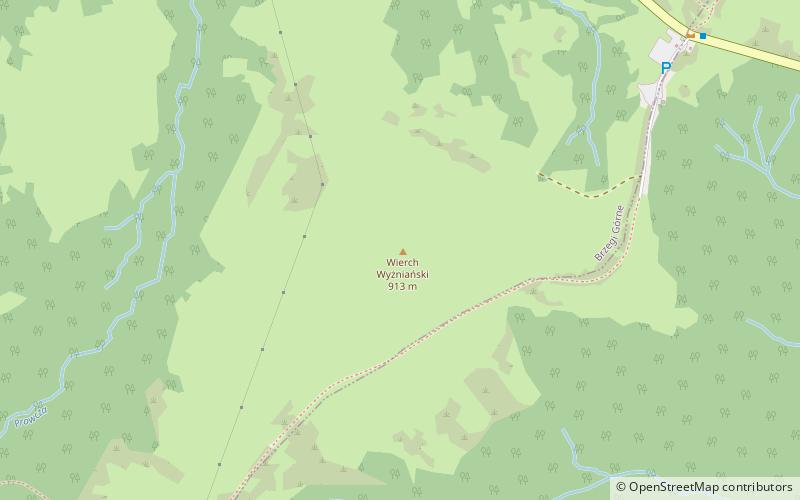
Wyżniański Peak - a peak in the Western Bieszczady Mountains, located southwest of the Wyżniańska Pass. It is a gentle, grassy and not high hill located between the lofty massifs of Połonina Caryńska and Mała Rawka. Not far from the top, on the south-east slope there runs the green hiking trail from the Wyżniańska Pass to Mt Mały Rawka.
From rare in Poland plant species - thyme blight - was found. On the top of the hill there is the IMGW Automatic Telemetric Meteorological Station.
Coordinates: 49°7'20"N, 22°35'9"E
Address
Bieszczady National Park
ContactAdd
Social media
Add
Day trips


